Sheshegwaning First Nation
| Sheshegwaning 20 | |
|---|---|
| Indian reserve | |
| Sheshegwaning Indian Reserve No. 20 | |
 Sheshegwaning 20 | |
| Coordinates: 45°56′N 82°51′W / 45.933°N 82.850°WCoordinates: 45°56′N 82°51′W / 45.933°N 82.850°W | |
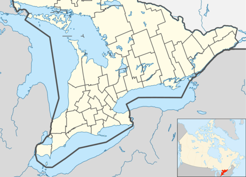
| Country |
|
| Province |
|
| District | Manitoulin |
| First Nation | Sheshegwaning |
| Area[1] | |
| • Land | 20.28 km2 (7.83 sq mi) |
| Population (2011)[1] | |
| • Total | 118 |
| • Density | 5.8/km2 (15/sq mi) |
| Website | www.sheshegwaning.org |
Sheshegwaning First Nation is an Anishinaabe First Nation on Manitoulin Island. Its land base is located on the Sheshegwaning 20 reserve.
References
- 1 2 "Sheshegwaning 20 census profile". 2011 Census of Population. Statistics Canada. Retrieved 22 June 2015.
 |
Unorganized West Manitoulin | | ||
| Zhiibaahaasing 19A | |
North Channel | ||
| ||||
| | ||||
| Unorganized West Manitoulin |
This article is issued from Wikipedia - version of the 10/11/2016. The text is available under the Creative Commons Attribution/Share Alike but additional terms may apply for the media files.