Seronga Airport
| Seronga Airport | |||||||||||
|---|---|---|---|---|---|---|---|---|---|---|---|
| IATA: none – ICAO: FB71 | |||||||||||
| Summary | |||||||||||
| Airport type | Public | ||||||||||
| Serves | Seronga | ||||||||||
| Elevation AMSL | 3,000 ft / 914 m | ||||||||||
| Coordinates | 18°49′25″S 022°25′25″E / 18.82361°S 22.42361°ECoordinates: 18°49′25″S 022°25′25″E / 18.82361°S 22.42361°E | ||||||||||
| Map | |||||||||||
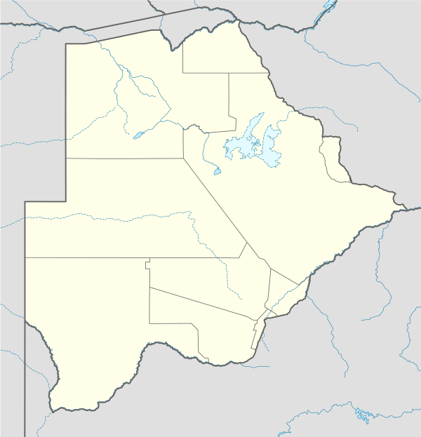 Seronga Location of the airport in Botswana | |||||||||||
| Runways | |||||||||||
| |||||||||||
|
Source: Google Maps[1] | |||||||||||
Seronga Airport (ICAO: FB71 ) is an airport serving the village of Seronga in Botswana. The well-marked runway is at the northern edge of the Okavango Delta.
See also
 Aviation portal
References
- Airport Guide - Seronga
- Civil Aviation Authority of Botswana
- Airport Nav Finder - Seronga
- Google Earth
External links
This article is issued from Wikipedia - version of the 12/5/2016. The text is available under the Creative Commons Attribution/Share Alike but additional terms may apply for the media files.