Seikkan Township
| Seikkan Township ဆိပ်ကမ်း မြို့နယ် | |
|---|---|
| Township of Yangon | |
| Seikkan Township | |
 Seikkan Township | |
| Coordinates: 16°46′0″N 96°09′0″E / 16.76667°N 96.15000°ECoordinates: 16°46′0″N 96°09′0″E / 16.76667°N 96.15000°E | |
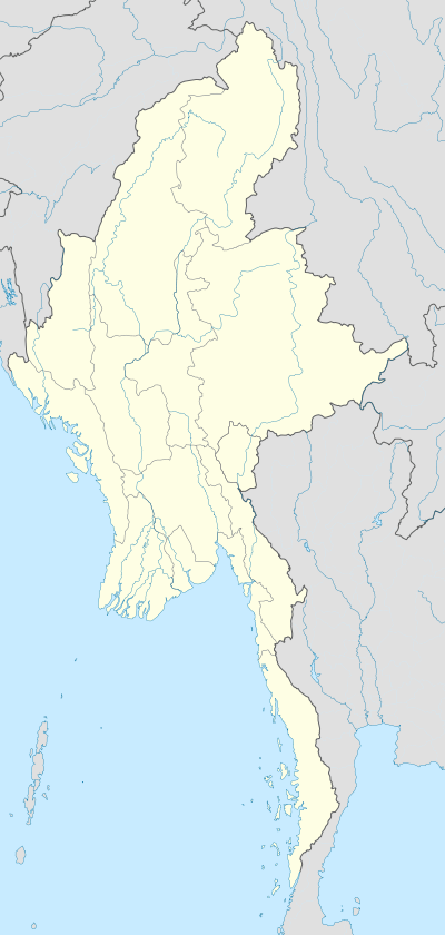
| Country | Myanmar |
| Division | Yangon |
| City | Yangon |
| Township | Seikkan |
| Area | |
| • Total | 1.32 km2 (0.511 sq mi) |
| Population (2000) | |
| • Total | 1,250 |
| • Density | 940/km2 (2,400/sq mi) |
| Time zone | MST (UTC6:30) |
| Area code(s) | 1; (mobile: 80, 99) |
| YCDC[1] | |
Seikkan Township (Burmese: ဆိပ်ကမ်း မြို့နယ်, pronounced: [sʰeiʔkáɴ mjo̰nɛ̀]) is a township located in the western part of Yangon, Myanmar. One of the smallest townships, Seikkan consists of just three wards. It has a primary school and a hospital.[1]
References
- 1 2 "Seikkan Township". Yangon City Development Committee. Archived from the original on 25 May 2012. Retrieved 2012-11-15.
Capital: Yangon | ||
| East Yangon District | 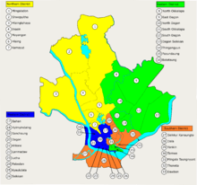 | |
| North Yangon District | ||
| South Yangon District | ||
| West Yangon District (Downtown) | ||
Capital: Yangon | ||
| East Yangon District |  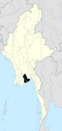 | |
| North Yangon District | ||
| South Yangon District | ||
| West Yangon District (Downtown) | ||
| Main cities and towns | ||
| States | ||
|---|---|---|
| Regions | ||
| Self-Administered Zones | ||
| Self-Administered Divisions | ||
| Union Territories | ||
This article is issued from Wikipedia - version of the 3/27/2016. The text is available under the Creative Commons Attribution/Share Alike but additional terms may apply for the media files.