San Vito de Java Airport
| San Vito de Java Airport | |||||||||||
|---|---|---|---|---|---|---|---|---|---|---|---|
| IATA: TOO – ICAO: MRSV | |||||||||||
| Summary | |||||||||||
| Airport type | Public | ||||||||||
| Serves | San Vito | ||||||||||
| Elevation AMSL | 3,228 ft / 984 m | ||||||||||
| Coordinates | 8°49′38″N 82°57′30″W / 8.82722°N 82.95833°WCoordinates: 8°49′38″N 82°57′30″W / 8.82722°N 82.95833°W | ||||||||||
| Map | |||||||||||
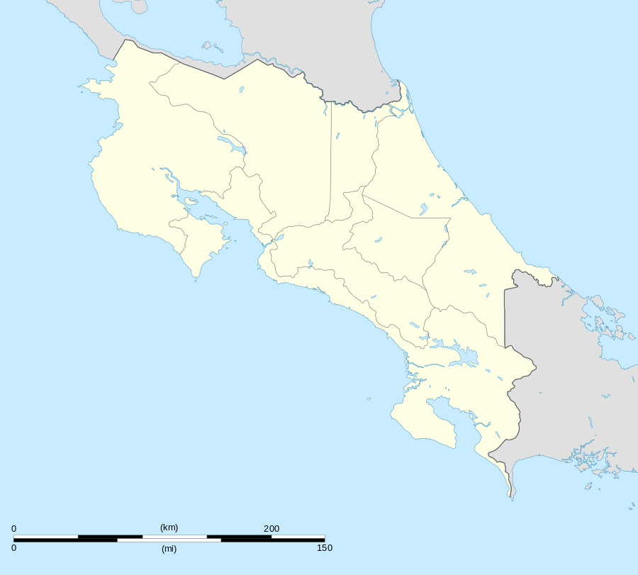 TOO Location in Costa Rica | |||||||||||
| Runways | |||||||||||
| |||||||||||
San Vito de Java Airport (IATA: TOO, ICAO: MRSV) is an airport serving the town of San Vito in Puntarenas Province, Costa Rica.
See also
 Costa Rica portal
 Aviation portal
- Transport in Costa Rica
- List of airports in Costa Rica
References
- ↑ Google Maps - San Vito de Java
- ↑ Airport information for TOO at Great Circle Mapper.
External links
This article is issued from Wikipedia - version of the 12/5/2016. The text is available under the Creative Commons Attribution/Share Alike but additional terms may apply for the media files.