Dudswell, Quebec
| Dudswell | |
|---|---|
| Municipality | |
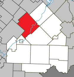 Location within Le Haut-Saint-François RCM. | |
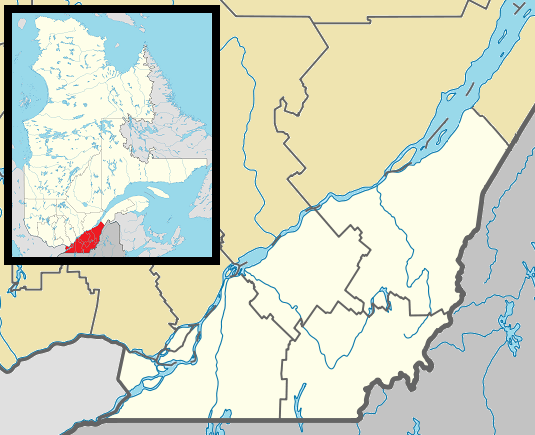 Dudswell Location in southern Quebec. | |
| Coordinates: 45°35′N 71°35′W / 45.583°N 71.583°WCoordinates: 45°35′N 71°35′W / 45.583°N 71.583°W[1] | |
| Country |
|
| Province |
|
| Region | Estrie |
| RCM | Le Haut-Saint-François |
| Constituted | October 11, 1995 |
| Government[2] | |
| • Mayor | Claude Corriveau |
| • Federal riding | Compton—Stanstead |
| • Prov. riding | Mégantic |
| Area[2][3] | |
| • Total | 223.70 km2 (86.37 sq mi) |
| • Land | 219.08 km2 (84.59 sq mi) |
| Population (2011)[3] | |
| • Total | 1,771 |
| • Density | 8.1/km2 (21/sq mi) |
| • Pop 2006-2011 |
|
| Time zone | EST (UTC−5) |
| • Summer (DST) | EDT (UTC−4) |
| Postal code(s) | J0B 1G0 |
| Area code(s) | 819 |
| Highways |
|
Dudswell is a municipality of 1,600 people in Le Haut-Saint-François Regional County Municipality, in Quebec, Canada.
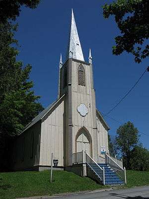
St. Paul's Anglican Church in the Marbleton sector of Dudswell.
| Wikimedia Commons has media related to Dudswell, Quebec. |
References
 |
Saint-Camille | Saint-Joseph-de-Ham-Sud | Weedon | |
| Stoke | |
Lingwick | ||
| ||||
| | ||||
| Westbury | Bury |
| Cities & Towns | |
|---|---|
| Municipalities | |
| Townships | |
| |
This article is issued from Wikipedia - version of the 4/7/2013. The text is available under the Creative Commons Attribution/Share Alike but additional terms may apply for the media files.