Rural Municipality of Usborne No. 310
| Usborne No. 310, Saskatchewan | |
|---|---|
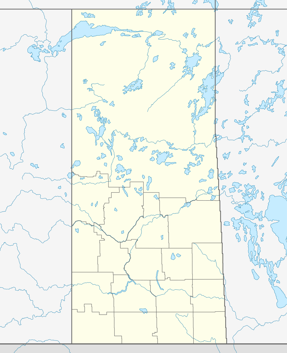 Location of Usborne No. 310, in Saskatchewan | |
| Coordinates: 51°45′41″N 105°08′53″W / 51.76139°N 105.14806°WCoordinates: 51°45′41″N 105°08′53″W / 51.76139°N 105.14806°W | |
| Country | Canada |
| Province | Saskatchewan |
| Rural Municipality | December 19, 1909 |
| Area | |
| • Total | 810.38 km2 (312.89 sq mi) |
| Population (2006) | |
| • Total | 566 |
| Time zone | UTC (UTC-6) |
| Website | http://rm502.sasktelwebhosting.com/ |
Usborne No. 310, Saskatchewan, is a rural municipality of 566 rural residents (2006 census) in the central part of Saskatchewan, Canada. The RM was incorporated December 13, 1909.[1] Other localities in the area include Guernsey, Drake, Lanigan and Venn.[2][3][4]
A rural municipality is an administrative district consisting of an elected reeve, councilors, administrator who provide essential services within their area.
Statistics
| Canada census – Rural Municipality of Usborne No. 310 community profile | |||
|---|---|---|---|
| 2006 | |||
| Population: | 566 (-15.1% from 2001) | ||
| Land area: | 810.38 km2 (312.89 sq mi) | ||
| Population density: | 0.7/km2 (1.8/sq mi) | ||
| Median age: | N/A (M: N/A, F: N/A) | ||
| Total private dwellings: | 246 | ||
| Median household income: | $N/A | ||
| References: 2006[5] | |||
Communities
The following communities are located in this municipality:
Towns;
Villages;
Hamlets;
- Lockwood, dissolved as a village January 1, 2002.
- Guernsey, dissolved as a village December 31, 2005.
Attractions
Local Attractions;
- Lanigan & District Heritage Centre
Area statistics
- Lat 51° 45' 41" N
- Long 105° 08' 53" W
- Time zone (est) UTC-6
See also
References
- ↑ "MRD Municipal Status Information", Ministry of Municipal Affairs, Government of Saskatchewan, archived from the original on 2008-03-25, retrieved 2008-03-28
- ↑ Saskatchewan Genealogy Association, retrieved 2008-03-28
- ↑ Huang, Yj; Powers, R; Montelione, Gt (Feb 2005), "Statistics Canada", Journal of the American Chemical Society, Government of Canada, 127 (6): 1665–74, doi:10.1021/ja047109h, PMID 15701001, retrieved 2008-03-28
- ↑ "Usborne No. 310", Sask biz, Government of Saskatchewan, retrieved 2008-03-28
- ↑ "2006 Community Profiles". Canada 2006 Census. Statistics Canada. March 30, 2011. Retrieved 2009-02-24.
- ↑ "Usborne No. 310, Saskatchewan, Canada, North America", World Index, Rumbletum.org, 2004, retrieved 2008-03-28
External links
- Saskatoon Regional Economic Development Authority - SREDA
- Saskatchewan, Canada, Rand McNally 1924 Indexed Pocket Map Tourists' and Shippers' Guide
- GeoNames Query
- Post Offices and Postmasters - ArchiviaNet - Library and Archives Canada
- Saskatchewan Gen Web - One Room School Project
- Canadian Maps: January 1925 Waghorn's Guide. Post Offices in Man. Sask. Alta. and West Ontario.
- Saskatoon Gen Web
- Map of Usborne No. 310 at Statcan
This article is issued from Wikipedia - version of the 9/10/2016. The text is available under the Creative Commons Attribution/Share Alike but additional terms may apply for the media files.