Runcton Holme
| Runcton Holme | |
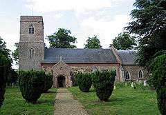 St James, Runcton Holme |
|
 Runcton Holme |
|
| Area | 13.89 km2 (5.36 sq mi) |
|---|---|
| Population | 657 (2011) |
| – density | 47/km2 (120/sq mi) |
| OS grid reference | TF618089 |
| Civil parish | Runcton Holme |
| District | King's Lynn and West Norfolk |
| Shire county | Norfolk |
| Region | East |
| Country | England |
| Sovereign state | United Kingdom |
| Post town | KING'S LYNN |
| Postcode district | PE33 |
| Police | Norfolk |
| Fire | Norfolk |
| Ambulance | East of England |
| EU Parliament | East of England |
Coordinates: 52°39′16″N 0°23′31″E / 52.65452°N 0.392075°E
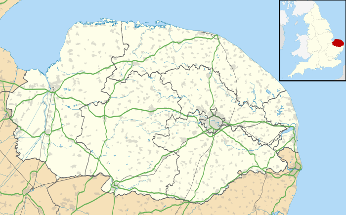
Runcton Holme is a civil parish in the English county of Norfolk. It covers an area of 13.89 km2 (5.36 sq mi) and had a population of 676 in 288 households at the 2001 census,[1] the population reducing to 657 at the 2011 census.[2] For the purposes of local government, it falls within the district of King's Lynn and West Norfolk.
Notes
- ↑ Census population and household counts for unparished urban areas and all parishes. Office for National Statistics & Norfolk County Council (2001). Retrieved 20 June 2009.
- ↑ "Civil Parish population 2011". Retrieved 29 August 2015.
External links
![]() Media related to Runcton Holme at Wikimedia Commons
Media related to Runcton Holme at Wikimedia Commons
This article is issued from Wikipedia - version of the 8/10/2016. The text is available under the Creative Commons Attribution/Share Alike but additional terms may apply for the media files.