Rubiácea
| Rubiácea | |
|---|---|
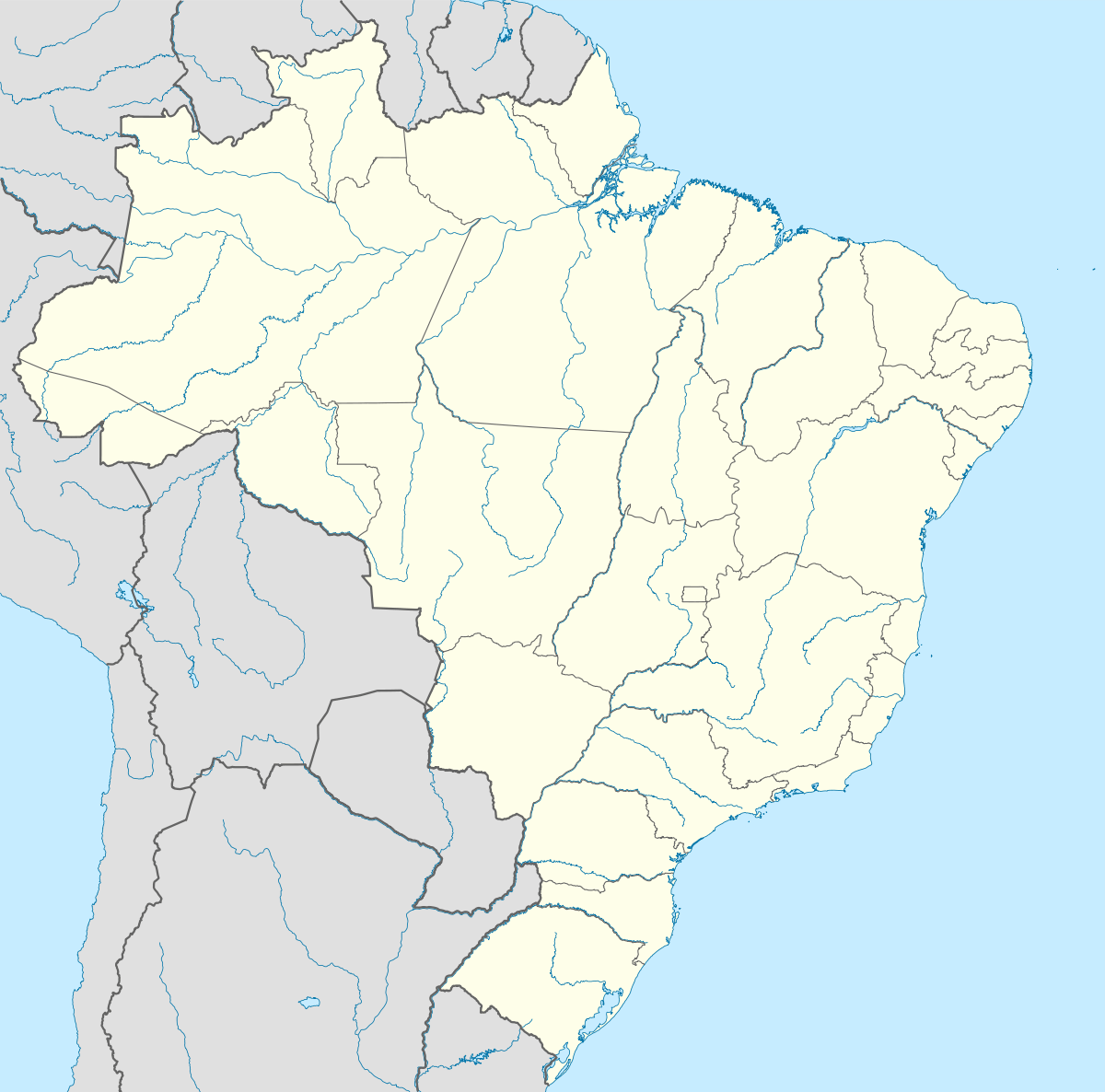 Rubiácea Location in Brazil | |
| Coordinates: 21°18′02″S 50°43′36″W / 21.30056°S 50.72667°WCoordinates: 21°18′02″S 50°43′36″W / 21.30056°S 50.72667°W | |
| Country |
|
| State | São Paulo |
| Mesoregion | Araçatuba |
| Microregion | Araçatuba |
| Elevation | 420 m (1,380 ft) |
| Population (2010) | |
| • Total | 2,729 |
| • Density | 11.52/km2 (29.8/sq mi) |
| Time zone | UTC−03:00 |
Rubiácea is a municipality in the state of São Paulo in Brazil. The population in 2010 was 2,729 and the area is 237.67 km². The elevation is 420 m.
This article is issued from Wikipedia - version of the 5/15/2016. The text is available under the Creative Commons Attribution/Share Alike but additional terms may apply for the media files.