Rech Valley
| Rech | |
|---|---|
| Region | |
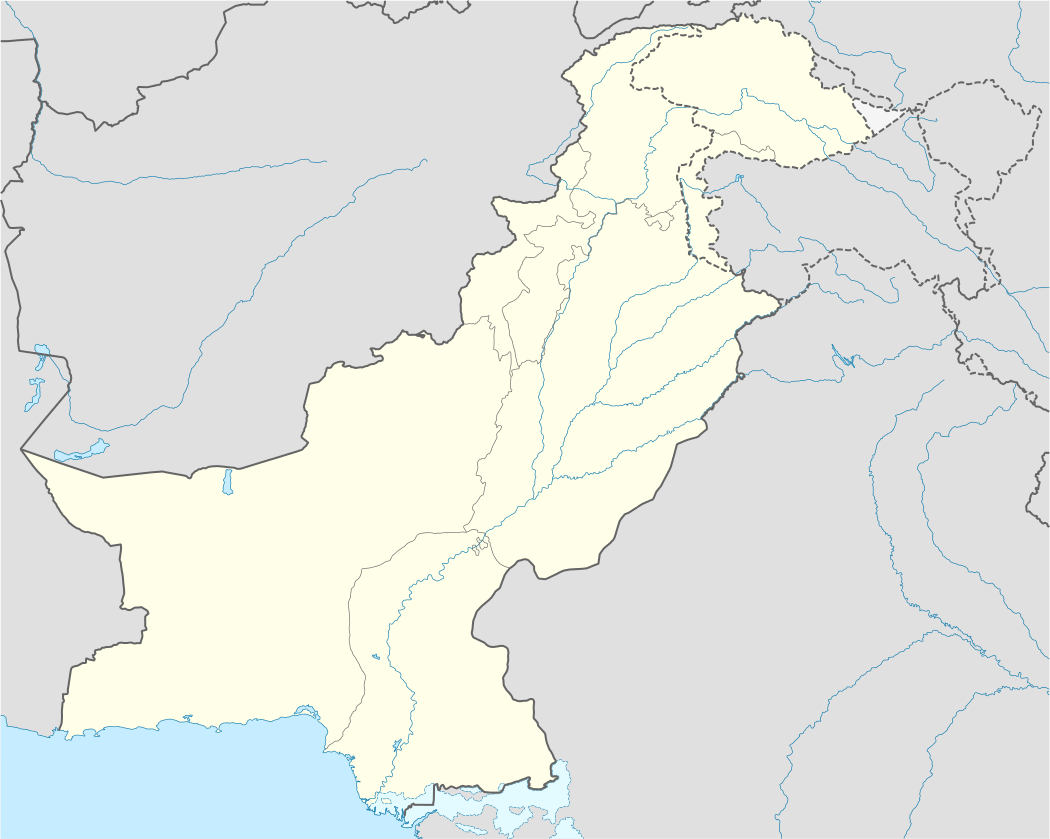 Rech Location in Pakistan | |
| Coordinates: 35°33′29″N 71°47′34″E / 35.55806°N 71.79278°ECoordinates: 35°33′29″N 71°47′34″E / 35.55806°N 71.79278°E | |
| Country | Pakistan |
| Province | Khyber Pakhtunkhwa |
| District | Chitral District |
| Area | |
| • Total | 36 km2 (14 sq mi) |
| Elevation | 112 m (367 ft) |
| Population (2003) | |
| • Total | 4,634 |
| • Density | 130/km2 (330/sq mi) |
| Languages | |
| • Official language | Chitrali |
| Time zone | PST (UTC+5) |
| Postal Index Number | +934-7 |
Rech is a region in Chitral district, located in the Hindu Kush area of Pakistan.
References
This article is issued from Wikipedia - version of the 10/7/2016. The text is available under the Creative Commons Attribution/Share Alike but additional terms may apply for the media files.