Ravulapalem
| Ravulapalem | |
|---|---|
| Town | |
|
Banana Plantations near Ravulapalem | |
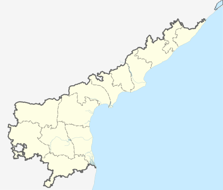 Ravulapalem Location in Andhra Pradesh, India | |
| Coordinates: 16°29′N 81°59′E / 16.483°N 81.983°ECoordinates: 16°29′N 81°59′E / 16.483°N 81.983°E | |
| Country |
|
| State | Andhra Pradesh |
| District | East Godavari |
| Talukas | Ravulapalem |
| Area | |
| • Total | 9 km2 (3 sq mi) |
| Area rank | 7 |
| Population | |
| • Total | 70,000 |
| • Rank | 19 |
| • Density | 7,800/km2 (20,000/sq mi) |
| Languages | |
| • Official | Telugu |
| Time zone | IST (UTC+5:30) |
| PIN | 533238 |
| Vehicle registration | AP |

Ravulapalem is a village in East Godavari district of the Indian state of Andhra Pradesh.
Governance
The town was upgraded from Gram panchayat to Nagar panchayat on 23 June 2011.[1]
Transport
The Andhra Pradesh State Road Transport Corporation operates bus services from Ravulapalem bus station. It operates from Ravulapalem to Kakinada, Rajahmundry, Tanuku, Eluru, Amalapuram and Razole.[2]
References
- ↑ "Kodad upgraded to municipality". The Hindu. Hyderabad. 24 June 2011. Retrieved 28 January 2016.
- ↑ "Bus Stations in Districts". Andhra Pradesh State Road Transport Corporation. Retrieved 9 March 2016.
This article is issued from Wikipedia - version of the 9/16/2016. The text is available under the Creative Commons Attribution/Share Alike but additional terms may apply for the media files.