Rathowen
| Rathowen Ráth Eoghain | |
|---|---|
| Town | |
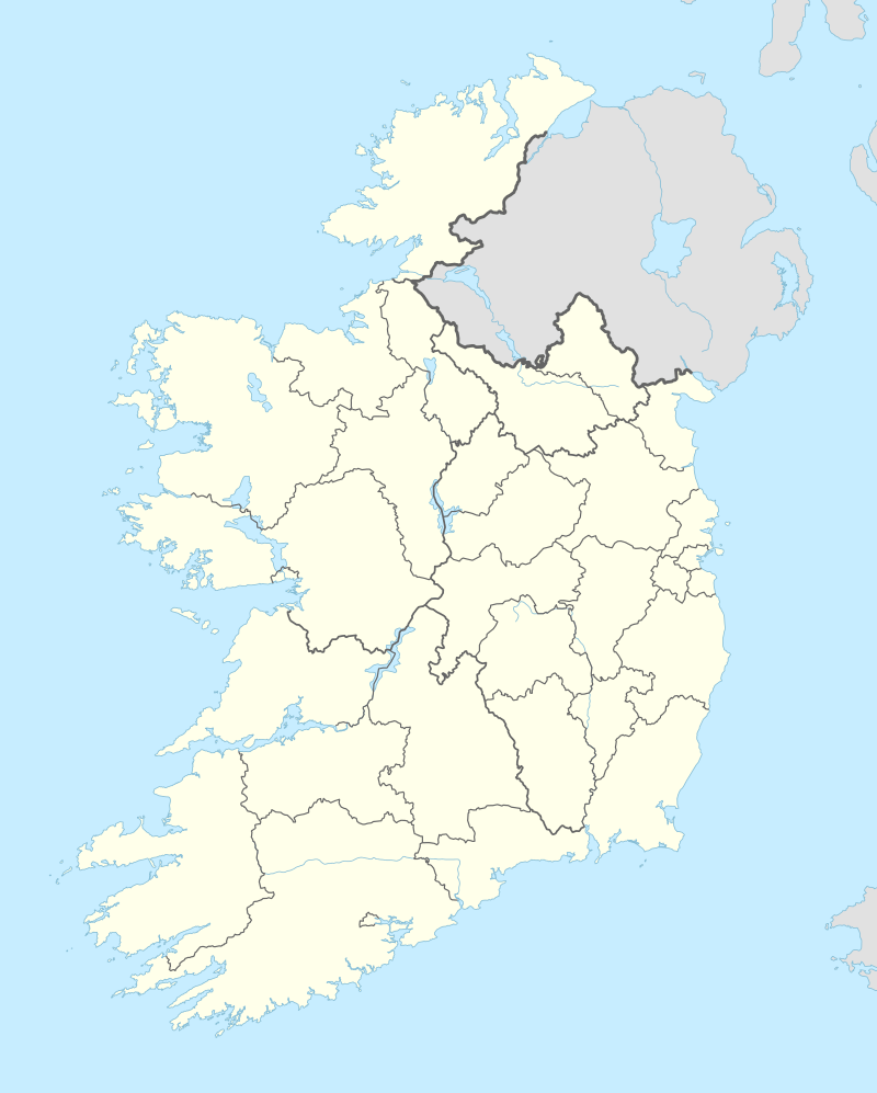 Rathowen Location in Ireland | |
| Coordinates: 53°39′36″N 7°31′12″W / 53.66000°N 7.52000°WCoordinates: 53°39′36″N 7°31′12″W / 53.66000°N 7.52000°W | |
| Country | Ireland |
| Province | Leinster |
| County | County Westmeath |
| Government | |
| • Dáil Éireann | Westmeath |
| • EU Parliament | East |
| Time zone | WET (UTC+0) |
| • Summer (DST) | IST (WEST) (UTC-1) |
| Irish Grid Reference | N317678 |
Rathowen (Irish: Ráth Eoghain, meaning "Eoghan's Ringfort") is a small village in County Westmeath, Ireland, on the N4 national primary route.
Transport
- Street and Rathowen railway station was opened on 1 August 1877 and finally closed on 17 June 1963.[1]
See also
References
- ↑ "Street and Rathowen station" (PDF). Railscot - Irish Railways. Retrieved 2007-11-24.

This article is issued from Wikipedia - version of the 9/6/2015. The text is available under the Creative Commons Attribution/Share Alike but additional terms may apply for the media files.