Ras Baalbek I
| ورأس بعلبك | |
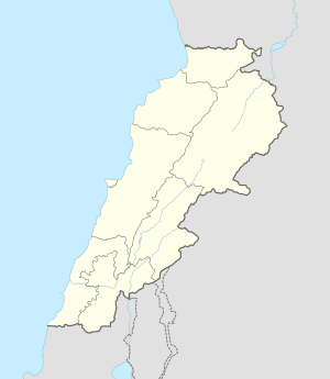 Shown within Lebanon | |
| Location | 26 kilometres (16 mi) North-east of Baalbek |
|---|---|
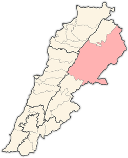
| Region | Bekaa Valley |
| Coordinates | 34°15′36″N 36°25′25″E / 34.259912°N 36.423723°E |
| Type | Rock Shelter |
| History | |
| Periods | PPNB |
| Cultures | Neolithic |
| Site notes | |
| Excavation dates | 1965-1966, 1970 |
| Archaeologists |
Lorraine Copeland, Peter Wescombe, Jacques Besançon |
| Condition | Ruins |
| Public access | Yes |
Ras Baalbek I (Arabic: ورأس بعلبك) is a rock shelter 500 metres (1,600 ft) east of Ras Baalbek in the northern Beqaa Valley in Lebanon.[1] It sits north of the Wadi Teniyet er-Râs valley at a height of 1,000 metres (3,300 ft). It was first discovered by Lorraine Copeland and Peter Wescombe in 1965-1966. It was later excavated by Jacques Besançon in 1970.[2] Retouched blades along with a pressure-flaked arrowhead and a burin were found dated to the Neolithic period.
References
- ↑ Université Saint-Joseph (Beirut; Lebanon) (1968). Mélanges de l'Université Saint-Joseph. Impr. catholique. Retrieved 24 March 2011.
- ↑ Francis Hours (1994). Atlas des sites du proche orient (14000-5700 BP). Maison de l'Orient méditerranéen. ISBN 978-2-903264-53-6. Retrieved 24 March 2011.
Capital: Baalbek | ||
| Towns and villages |
|  |
| Other | ||
This article is issued from Wikipedia - version of the 10/23/2016. The text is available under the Creative Commons Attribution/Share Alike but additional terms may apply for the media files.