Raposa
| Raposa | |
|---|---|
| Municipality | |
| The Municipality of Raposa | |
|
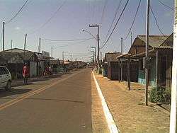
A street in Raposa | |
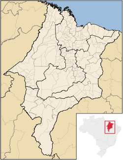 Location of Raposa in the State of Maranhão | |
| Coordinates: 02°26′14″S 44°06′08″W / 2.43722°S 44.10222°WCoordinates: 02°26′14″S 44°06′08″W / 2.43722°S 44.10222°W | |
| Country | Brazil |
| Region | Northeast |
| State | Maranhão |
| Founded | November 10, 1994 |
| Government | |
| • Mayor | Onacy Vieira Carneiro (PP) |
| Area | |
| • Total | 64.182 km2 (24.781 sq mi) |
| [1] | |
| Population (2012) | |
| • Total | 27,723 |
| • Density | 430/km2 (1,100/sq mi) |
| [2] | |
| Time zone | UTC-3 (UTC-3) |
| HDI (2000) | 0.632 – medium[3] |
| Website | www.raposa.ma.gov.br |
Raposa is a municipality in the state of Maranhão in the Northeast region of Brazil.[4][5] It is the smallest municipality of Maranhão.
See also
References
- ↑ IBGE -
- ↑ "2012 Populational Estimate" (PDF). Censo Populacional 2012. Instituto Brasileiro de Geografia e Estatística (IBGE). July 2012. Retrieved August 31, 2012.
- ↑ UNDP
- ↑ "Divisão Territorial do Brasil" (in Portuguese). Divisão Territorial do Brasil e Limites Territoriais, Instituto Brasileiro de Geografia e Estatística (IBGE). July 1, 2008. Retrieved December 17, 2009.
- ↑ "Produto Interno Bruto dos Municípios 2002-2005" (PDF) (in Portuguese). Instituto Brasileiro de Geografia e Estatística (IBGE). December 19, 2007. Retrieved December 17, 2009.

This article is issued from Wikipedia - version of the 5/10/2016. The text is available under the Creative Commons Attribution/Share Alike but additional terms may apply for the media files.