Radoslavci
| Radoslavci | |
|---|---|
 Radoslavci Location in Slovenia | |
| Coordinates: 46°31′31.97″N 16°5′50.44″E / 46.5255472°N 16.0973444°ECoordinates: 46°31′31.97″N 16°5′50.44″E / 46.5255472°N 16.0973444°E | |
| Country |
|
| Traditional region | Styria |
| Statistical region | Mura |
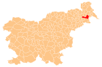
| Municipality | Ljutomer |
| Area | |
| • Total | 5.25 km2 (2.03 sq mi) |
| Elevation | 191.5 m (628.3 ft) |
| Population (2002) | |
| • Total | 307 |
| [1] | |
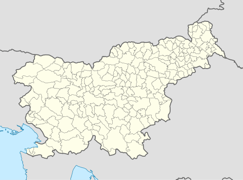
Radoslavci (pronounced [ˈɾaːdɔslau̯tsi]) is a settlement in the Municipality of Ljutomer in northeastern Slovenia. The area traditionally belonged to the Styria region and is now included in the Mura Statistical Region.[2]
The local chapel in the southern part of the settlement was built in the late 19th century.[3]
References
External links
| Settlements | Administrative centre: Ljutomer
|  |
|---|---|---|
| Landmarks |
| |
| Notable people |
| |
This article is issued from Wikipedia - version of the 8/31/2014. The text is available under the Creative Commons Attribution/Share Alike but additional terms may apply for the media files.