Possum Bottom Covered Bridge
|
Possom Bottom Covered Bridge | |
|
Possum Bottom Covered Bridge, May 2012 | |
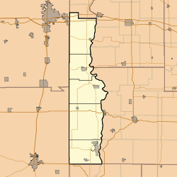 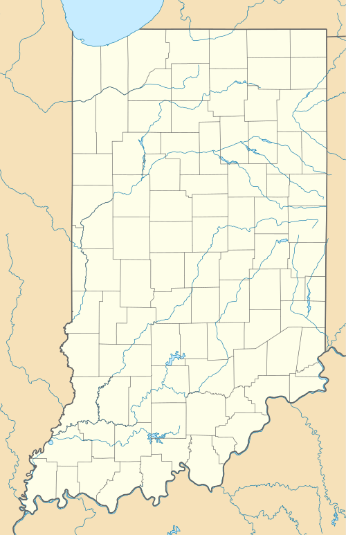  | |
| Location | Northern side of U.S. Route 36, 0.2 miles east of its junction with East Rd. and southeast of Dana, Helt Township, Vermillion County, Indiana |
|---|---|
| Coordinates | 39°47′50″N 87°27′12″W / 39.79722°N 87.45333°WCoordinates: 39°47′50″N 87°27′12″W / 39.79722°N 87.45333°W |
| Area | less than one acre |
| Built | 1876 |
| Built by | Daniels, Joseph J. |
| Architectural style | Burr Arch Truss |
| NRHP Reference # | 94000584[1] |
| Added to NRHP | June 10, 1994 |
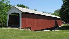
Possum Bottom Covered Bridge, also known as the Jackson's Ford Bridge and Hillsdale Bridge, is a historic Burr Arch Truss covered bridge located in Helt Township, Vermillion County, Indiana. It was built in 1876, and is a single span covered timber bridge. It measures 131 feet long and 14 feet wide. It was moved to its present location at the Ernie Pyle Rest Park in 1972.[2]:5–6
It was listed on the National Register of Historic Places in 1994.[1]
See also
References
- 1 2 National Park Service (2010-07-09). "National Register Information System". National Register of Historic Places. National Park Service.
- ↑ "Indiana State Historic Architectural and Archaeological Research Database (SHAARD)" (Searchable database). Department of Natural Resources, Division of Historic Preservation and Archaeology. Retrieved 2016-07-01. Note: This includes Arthur Bonwell (February 1994). "National Register of Historic Places Inventory Nomination Form: Possum Bottom Covered Bridge" (PDF). Retrieved 2016-07-01. and Accompanying photographs
| Wikimedia Commons has media related to Possum Bottom Covered Bridge. |

This article is issued from Wikipedia - version of the 12/2/2016. The text is available under the Creative Commons Attribution/Share Alike but additional terms may apply for the media files.