Pintian Mountain
| Pintian Mountain | |
|---|---|
 Pintian Mountain | |
| Highest point | |
| Elevation | 3,524 metres (11,562 ft) |
| Listing | 100 Peaks of Taiwan |
| Coordinates | 24°26′N 121°16′E / 24.43°N 121.27°ECoordinates: 24°26′N 121°16′E / 24.43°N 121.27°E |
| Geography | |
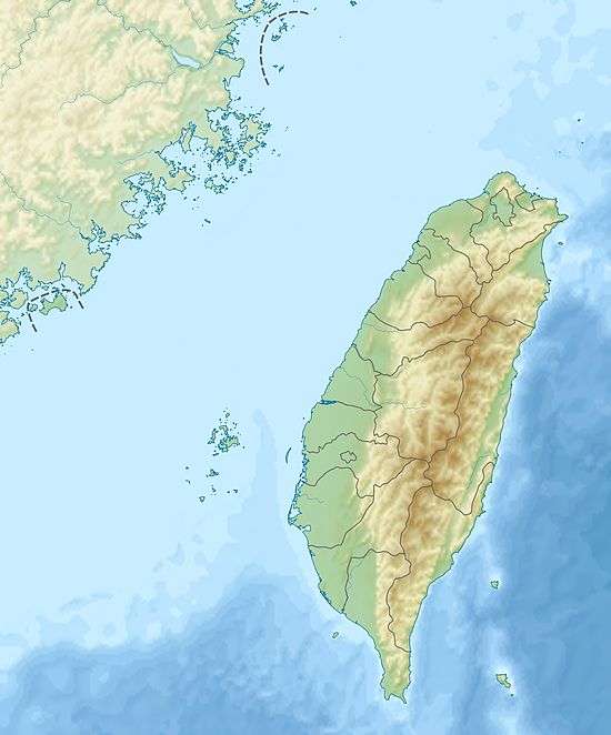 Pintian Mountain The location of Pintian Mountain | |
| Location |
Heping District, Taichung/ Jianshi, Hsinchu County, Taiwan |
| Parent range | Xueshan Range |
| Climbing | |
| Easiest route | Hike and rock climb |
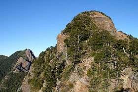
Pintian Mountain as viewed from the south
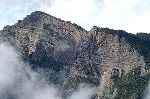
Pintian Mountain (Chinese: 品田山; pinyin: Pǐntián Shān; Wade–Giles: P'in3-t'ien2 Shan1) is a mountain in Taiwan with an elevation of 3,524 m (11,562 ft).[1]
See also
References
This article is issued from Wikipedia - version of the 7/29/2016. The text is available under the Creative Commons Attribution/Share Alike but additional terms may apply for the media files.