Payhembury
| Payhembury | |
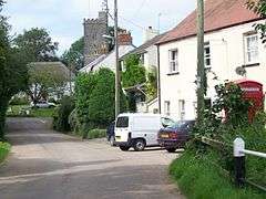 Village of Payhembury |
|
 Payhembury |
|
| Population | 682 (2011) |
|---|---|
| Civil parish | Payhembury |
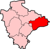
| District | East Devon |
| Shire county | Devon |
| Region | South West |
| Country | England |
| Sovereign state | United Kingdom |
| Police | Devon and Cornwall |
| Fire | Devon and Somerset |
| Ambulance | South Western |
| EU Parliament | South West England |
| UK Parliament | Tiverton and Honiton |
Coordinates: 50°48′25″N 3°17′39″W / 50.806911°N 3.29403°W
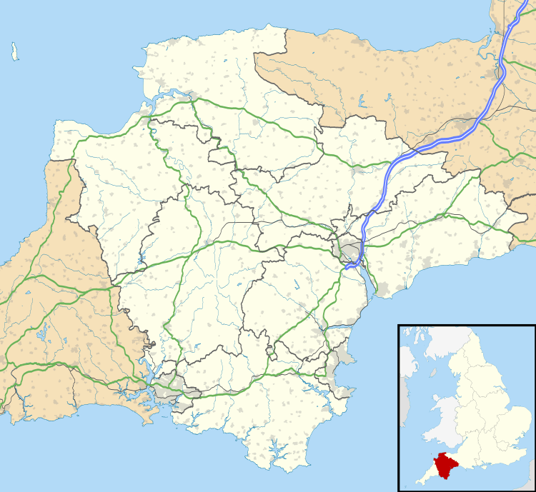
Payhembury is a village and civil parish in the East Devon district of Devon, England.
The village is about two miles west of Honiton. At the time of the 2011 the parish had a population of 682,[1] and it is surrounded clockwise from the north by the parishes of Broadhembury, Awliscombe, Buckerell, Feniton, Talaton, Clyst Hydon and Plymtree.[2]
The parish church is dedicated to St. Mary and was mostly built in the fifteenth century. It includes a stone arcade made of Beer Stone which has several shields including the arms of the Courtenay family, a coloured roof and altar rails from the reign of Queen Anne.[3]
References
- ↑ "Key Figures for 2011 Census: Payhembury (Parish)". www.neighbourhood.statistics.gov.uk. Office for national Statistics. Retrieved 20 November 2016.
- ↑ "Map of Devon Parishes" (PDF). Devon County Council. Retrieved 20 November 2016.
- ↑ "Payhembury". Devon County Council. Retrieved 20 November 2016.
External links
-
 Media related to Payhembury at Wikimedia Commons
 - Official Village Website
- Payhembury in the Domesday Book
This article is issued from Wikipedia - version of the 11/27/2016. The text is available under the Creative Commons Attribution/Share Alike but additional terms may apply for the media files.