Osborne, Manitoba
For the neighbourhood in Winnipeg, see Osborne Village.
| Osborne | |
|---|---|
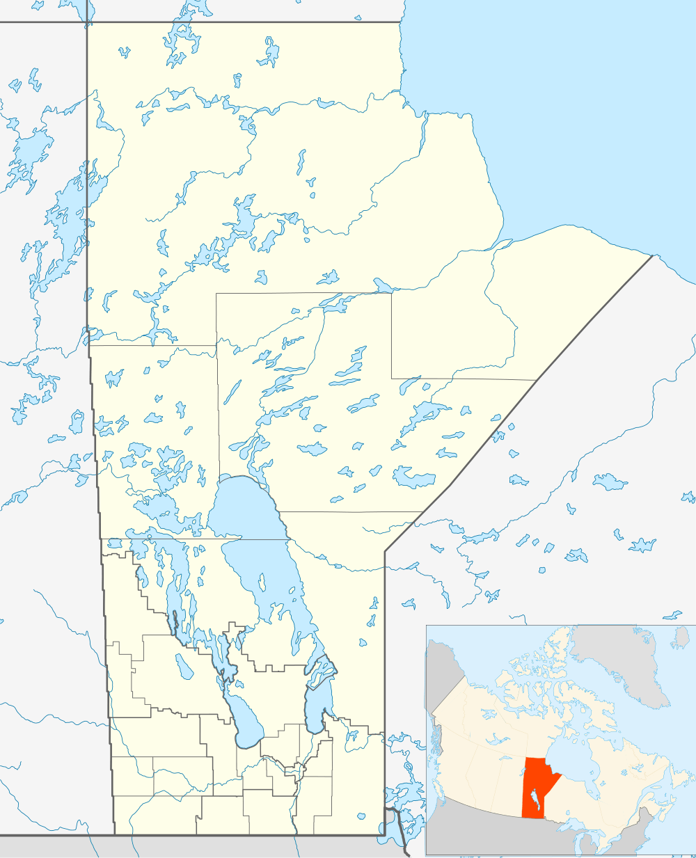 Osborne Location of Osborne in Manitoba | |
| Coordinates: 49°32′31″N 97°22′8″W / 49.54194°N 97.36889°WCoordinates: 49°32′31″N 97°22′8″W / 49.54194°N 97.36889°W | |
| Country |
|
| Province |
|
| Region | Winnipeg Capital Region |
| Census Division | No. 10 |
| Government | |
| • Governing Body | Rural Municipality of Macdonald Council |
| • MP | Candice Bergen |
| • MLA | Vacant |
| Time zone | CST (UTC−6) |
| • Summer (DST) | CDT (UTC−5) |
| Area code(s) | 204, 431 |
| NTS Map | 062H11 |
| GNBC Code | GAUMI |
Osborne is an unincorporated community in south central Manitoba, Canada. It is located on Provincial Road 330 approximately 41 kilometers (26 miles) south of Winnipeg, Manitoba [1] in the Rural Municipality of Macdonald.
References
- ↑ "Geographical Names of Canada - Querying Distances". rncan.gc.ca. Retrieved 2013-07-29.
This article is issued from Wikipedia - version of the 4/15/2014. The text is available under the Creative Commons Attribution/Share Alike but additional terms may apply for the media files.