Orkney, Saskatchewan
| Orkney, Saskatchewan | |
|---|---|
| Unincorporated community | |
|
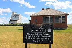
Orkney School and ex. Patterson elevator in background. | |
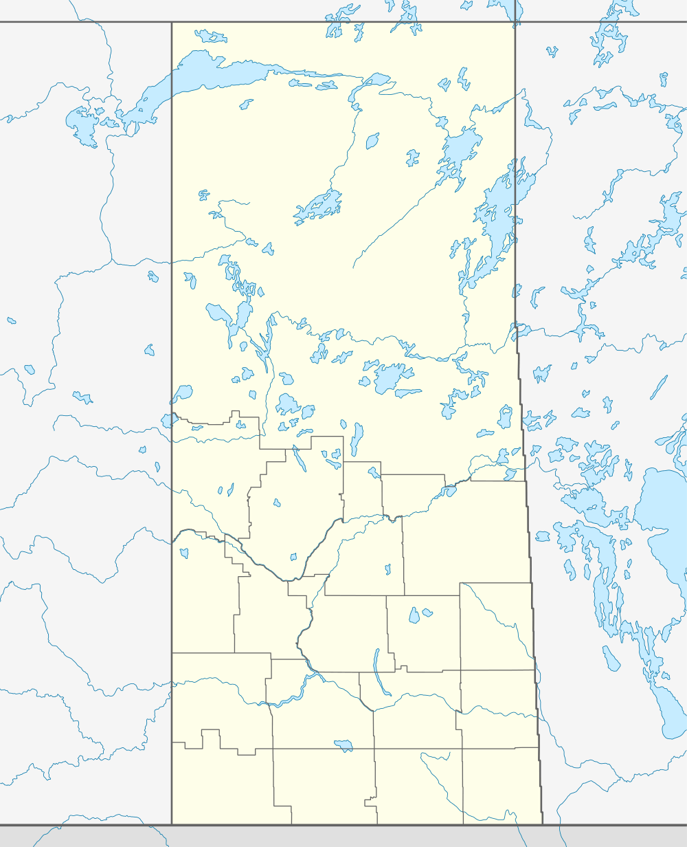 Location of Orkney in Saskatchewan | |
| Coordinates: 49°08′00″N 107°55′02″W / 49.1333°N 107.9172°W | |
| Country | Canada |
| Province | Saskatchewan |
| Region | Saskatchewan |
| Census division | No. 4 |
| Rural Municipality | Val Marie |
| Government | |
| • Governing body | Val Marie No. 17 |
| • MP | David L. Anderson |
| • MLA | Wayne Elhard |
| Area | |
| • Total | 0.93 km2 (0.36 sq mi) |
| Population (2010) | |
| • Total | 13 |
| Time zone | CST |
| Postal code | S0N 1V0 |
| Area code(s) | 306 |
| Highways | Highway 18 |
Orkney is an unincorporated community in Val Marie No. 17, Saskatchewan, Canada. The population was 13 at the 2001 Canada Census.
Demographics
| Canada census – Orkney, Saskatchewan community profile | |||
|---|---|---|---|
| 2001 | |||
| Population: | 13 (- 16% from 1996) | ||
| Land area: | 0.93 km2 (0.36 sq mi) | ||
| Population density: | 16.6/km2 (43/sq mi) | ||
| Median age: | 37.4 (M: 42.1, F: 32.6) | ||
| Total private dwellings: | 3 | ||
| Median household income: | $37,547 | ||
| References: 2001[1] | |||
Education
Frontier and Val Marie each have one school that covers Kindergarten through grade 12 in the Chinook School Division.
Attractions
- Frontier & District Golf Course, a 9-hole facility located in Frontier, it also features all the hallmarks of Saskatchewan golf.
- Grasslands National Park, one of Canada's newer national parks and is located in southern Saskatchewan along the Montana border.
- Cypress Hills Interprovincial Park, an interprovincial park straddling the southern Alberta-Saskatchewan border, located southeast of Medicine Hat. It is Canada's only interprovincial park.
See also
References
- ↑ "2001 Community Profiles". Canada 2001 Census. Statistics Canada. February 17, 2012.
 |
Robsart Eastend Cypress Hills Interprovincial Park |
Dollard Carmichael |
Shaunavon Admiral |
|
| Claydon Frontier |
|
Climax Bracken Orkney | ||
| ||||
| | ||||
| Canada–US border | Grasslands National Park |
| Subdivisions | |
|---|---|
| Communities | |
| Cities | |
| Topics |
|
| |
Coordinates: 49°08′00″N 107°55′02″W / 49.13333°N 107.91722°W
This article is issued from Wikipedia - version of the 5/16/2016. The text is available under the Creative Commons Attribution/Share Alike but additional terms may apply for the media files.