Okwelle
| Okwelle | |
|---|---|
| Nickname(s): Okwelle | |
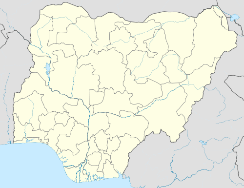 Okwelle Location of Okwelle in Nigeria | |
| Coordinates: 5°45′5″N 7°10′39″E / 5.75139°N 7.17750°E | |
| Country |
|
| State | Imo |
| Local Government Area | Onuimo |
| Government | |
| • Governor | Rochas Okorocha (APC) |
| Area | |
| • Land | 8.5 km2 (3.3 sq mi) |
| ISO 3166 code | NG.IM.OE.OM |
Okwelle is a town in Onuimo Local Government Area of Imo State, Nigeria.[1] It comprises eight villages: Alaike, OJiama, Ojiowere, Umoko, Umuagwo, Umuduruebo, Umuduruodu and Umuoma.[1] Okwelle's Central Market (Ekego) attracts traders from neighboring towns.[1]
Location and Boundaries
Okwelle is surrounded by major towns including Umunachi, Abba, Dikenafai, Okwe and Ezike.[1] Okwelle is blessed with several sources of fresh water, including springs, lakes, inland water channels and seasonal runoffs.[1] According to Floyd Barry, 'from Okwelle, to Imo River, a constriction of the Cuesta landforms takes places, but east again beyond the river, the uplands broaden to a dissected plateau around Bende separated by only a few miles from the Okigwe-Ngusu-Arochukwu Cuesta and related features.'[2]
References
- 1 2 3 4 5 "Okwelle Association in North America: Historical Background". okwelle.org. Retrieved May 22, 2016.
- ↑ Floyd, Barry (1969). "Eastern Nigeria: A Geographical Review". Springer: 89. Retrieved May 23, 2016.
Coordinates: 5°45′5″N 7°10′39″E / 5.75139°N 7.17750°E
External links
- "Okwelle Association in North America: Historical Background". okwelle.org. Retrieved May 22, 2016.