Neville, Saskatchewan
For other uses, see Neville (disambiguation).
| Neville, Saskatchewan | |
|---|---|
| Village | |
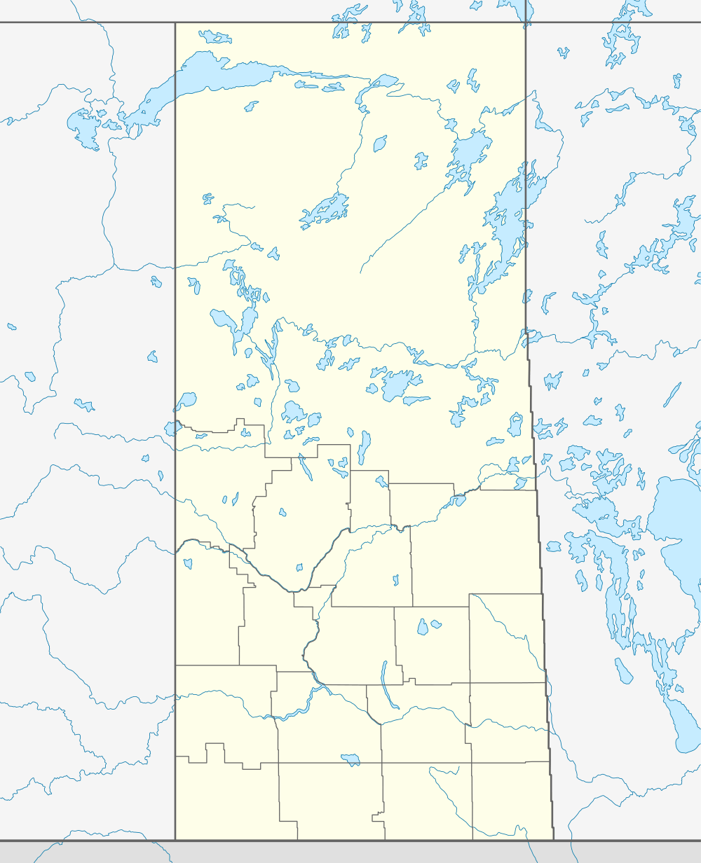 Neville, Saskatchewan 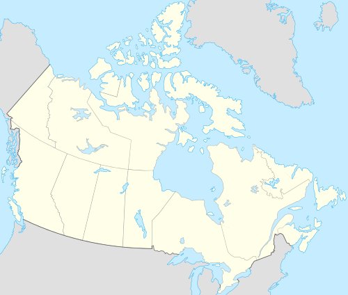 Neville, Saskatchewan Location of Neville in Saskatchewan | |
| Coordinates: 49°58′16″N 107°40′23″W / 49.971°N 107.673°W | |
| Country | Canada |
| Region | Prairies |
| Province | Saskatchewan |
| Census division | No. 3 |
| Rural Municipality | Whiska Creek No. 106 |
| Government | |
| • Mayor | Donald Forness |
| • Councillor | Henry Sawatzky |
| • Councillor | Carolyn Robichaud |
| Area | |
| • Total | 1.10 km2 (0.42 sq mi) |
| Population (2011) | |
| • Total | 83 |
| • Density | 75.3/km2 (195/sq mi) |
| Time zone | CST |
| Postal code | S0N 2V0 |
| Area code(s) | 306 |
| Highways |
Highway 43 Highway 4 |
| [1][2][3][4] | |
Neville is a small village of around 80 citizens and is located on Highway 43. Neville remains a viable community renowned for its low cost of living, negligible crime rate, stargazing and bird watching opportunities, clean air and sunshine.
Demographics
| Canada census – Neville, Saskatchewan community profile | |||
|---|---|---|---|
| 2011 | 2001 | ||
| Population: | 83 (27.7% from 2006) | 70 (- 20.5% from 1996) | |
| Land area: | 1.10 km2 (0.42 sq mi) | 1.10 km2 (0.42 sq mi) | |
| Population density: | 75.3/km2 (195/sq mi) | 63.5/km2 (164/sq mi) | |
| Median age: | 44.2 (M: 41.0, F: 46.5) | 38.5 (M: 36.8, F: 39.5) | |
| Total private dwellings: | 42 | 44 | |
| Median household income: | $NA | $NA | |
| References: 2011[5] 2001[6] | |||
See also
 |
Blumenhof Swift Current Wymark |
McMahon | Hallonquist Moose Jaw |
|
| Simmie Maple Creek |
|
Pambrun Vanguard | ||
| ||||
| | ||||
| Admiral Shaunavon Cypress Hills |
Cadillac Val Marie Grasslands National Park |
Ponteix Assiniboia |
Footnotes
- ↑ National Archives, Archivia Net, Post Offices and Postmasters
- ↑ "Municipality Details". Municipality Directory System. Government of Saskatchewan. Retrieved 13 November 2013.
- ↑ Canadian Textiles Institute. (2005), CTI Determine your provincial constituency
- ↑ Commissioner of Canada Elections, Chief Electoral Officer of Canada (2005), Elections Canada On-line
- ↑ "2011 Community Profiles". Canada 2011 Census. Statistics Canada. July 5, 2013.
- ↑ "2001 Community Profiles". Canada 2001 Census. Statistics Canada. February 17, 2012.
| Subdivisions | |
|---|---|
| Communities | |
| Cities | |
| Topics |
|
| |
Coordinates: 49°58′16″N 107°40′23″W / 49.971°N 107.673°W
This article is issued from Wikipedia - version of the 8/7/2016. The text is available under the Creative Commons Attribution/Share Alike but additional terms may apply for the media files.