Narayankhed
| Narayankhed | |
|---|---|
| Town | |
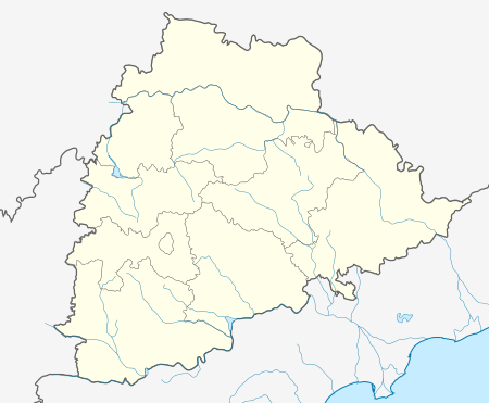 Narayankhed  Narayankhed Location in Telangana, India | |
| Coordinates: 18°02′00″N 77°47′00″E / 18.03333°N 77.78333°ECoordinates: 18°02′00″N 77°47′00″E / 18.03333°N 77.78333°E | |
| Country |
|
| State | Telangana |
| District | Sangareddy |
| Area[1] | |
| • Total | 7.51 km2 (2.90 sq mi) |
| Elevation | 10 m (30 ft) |
| Population (2011)[1] | |
| • Total | 15,610 |
| • Density | 2,100/km2 (5,400/sq mi) |
| Languages | |
| • Official | Telugu |
| Time zone | IST (UTC+5:30) |
| PIN | 502286 |
| Telephone code | 08456 |
| Vehicle registration | TS–15 |
| Website |
telangana |
Narayankhed is a town in Sangareddy district of the Indian state of Telangana It's also A Revenuedivision .[2][1]
References
- 1 2 3 "District Census Handbook – Karimnagar" (PDF). Census of India. pp. 12,44. Retrieved 11 June 2016.
- ↑ "District Level Mandal wise list of villages in Medak district" (PDF). Chief Commissioner of Land Administration. National Informatics Centre. Archived from the original (PDF) on 2 April 2015. Retrieved 5 March 2016.
This article is issued from Wikipedia - version of the 10/4/2016. The text is available under the Creative Commons Attribution/Share Alike but additional terms may apply for the media files.