Nagyigmánd
| Nagyigmánd | |
|---|---|
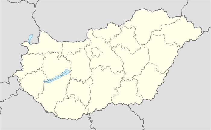 Nagyigmánd Location of Nagyigmánd | |
| Coordinates: 47°37′57″N 18°03′20″E / 47.63253°N 18.05569°ECoordinates: 47°37′57″N 18°03′20″E / 47.63253°N 18.05569°E | |
| Country |
|
| County | Komárom-Esztergom |
| Area | |
| • Total | 51.39 km2 (19.84 sq mi) |
| Population (2004) | |
| • Total | 3,166 |
| • Density | 61.6/km2 (160/sq mi) |
| Time zone | CET (UTC+1) |
| • Summer (DST) | CEST (UTC+2) |
| Postal code | 2942 |
| Area code(s) | 34 |
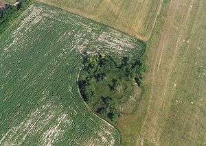
Nagyigmánd is a village in Komárom-Esztergom county, Hungary. It is the site of an ancient earthwork fort.
References
External links
This article is issued from Wikipedia - version of the 9/7/2015. The text is available under the Creative Commons Attribution/Share Alike but additional terms may apply for the media files.