Nadap
| Nadap | ||
|---|---|---|
 | ||
| ||
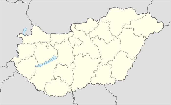 Nadap Location of Nadap | ||
| Coordinates: 47°15′32″N 18°37′00″E / 47.25885°N 18.61661°ECoordinates: 47°15′32″N 18°37′00″E / 47.25885°N 18.61661°E | ||
| Country |
| |
| County | Fejér | |
| Area | ||
| • Total | 6.93 km2 (2.68 sq mi) | |
| Population (2004) | ||
| • Total | 460 | |
| • Density | 66.37/km2 (171.9/sq mi) | |
| Time zone | CET (UTC+1) | |
| • Summer (DST) | CEST (UTC+2) | |
| Postal code | 8097 | |
| Area code(s) | 22 | |
| Website |
www | |

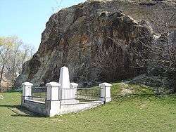
Nadap is a village in Fejér county, Hungary.
Gallery
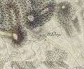 The map of Nadap from the First Military Mapping Survey of Austria Empire.
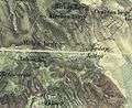 The map of Nadap from the Second Military Mapping Survey of Austria Empire.
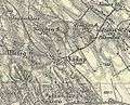 The map of Nadap from the 3rd Military Mapping Survey of Austria Empire.
External links
 Media related to Nadap at Wikimedia Commons
- Street map (Hungarian)
County seat: Székesfehérvár | ||
| Cities and towns | 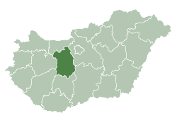 | |
| Villages |
| |
| Other topics |
| |
This article is issued from Wikipedia - version of the 2/6/2014. The text is available under the Creative Commons Attribution/Share Alike but additional terms may apply for the media files.