Naha Airport (Indonesia)
For the airport in Naha, Okinawa, Japan (OKA/ROAH), see Naha Airport.
| Naha Airport Bandar Udara Naha | |||||||||||
|---|---|---|---|---|---|---|---|---|---|---|---|
| IATA: NAH – ICAO: WAMH | |||||||||||
| Summary | |||||||||||
| Airport type | Public | ||||||||||
| Serves | Tahuna, Sangir Islands, Indonesia | ||||||||||
| Elevation AMSL | 5 m / 16 ft | ||||||||||
| Coordinates | 03°40′59″N 125°31′40″E / 3.68306°N 125.52778°ECoordinates: 03°40′59″N 125°31′40″E / 3.68306°N 125.52778°E | ||||||||||
| Map | |||||||||||
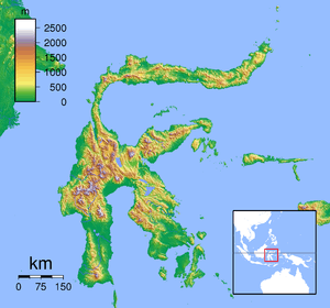 NAH Location of the airport in Sulawesi | |||||||||||
| Runways | |||||||||||
| |||||||||||
Naha Airport (IATA: NAH, ICAO: WAMH) is an airport serving the locality of Tahuna, in the Sangir Islands, part of the North Sulawesi province of Indonesia. The airport is connected to Manado by weekly Trigana Air Service[4] flights.
Airlines and destinations
| Airlines | Destinations |
|---|---|
| Trigana Air Service | Manado |
References
- ↑ Airport information for WAMH at World Aero Data. Data current as of October 2006.Source: DAFIF.
- ↑ Airport information for NAH at Great Circle Mapper. Source: DAFIF (effective October 2006).
- ↑ Airport information for Naha Airport at Search (for) Travel website.
- ↑ http://www.trigana-air.com/html/module.php?act=flight&mode=show_flight_schedule&lang=en&start=90
This article is issued from Wikipedia - version of the 12/4/2016. The text is available under the Creative Commons Attribution/Share Alike but additional terms may apply for the media files.