Moanda, Democratic Republic of the Congo
| Muanda | |
|---|---|
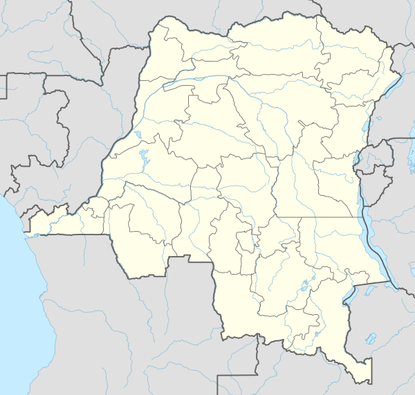 Muanda Location in Democratic Republic of the Congo | |
| Coordinates: 5°56′3″S 12°20′58″E / 5.93417°S 12.34944°ECoordinates: 5°56′3″S 12°20′58″E / 5.93417°S 12.34944°E | |
| Country |
|
| Province | Bas-Congo |
Moanda or Muanda is a town and territory lying on the Atlantic Ocean coast of the Democratic Republic of Congo at the mouth of the Congo River.[1] It is situated in Bas-Congo Province, and has a population of 50,000. The town has an airport, IATA Code FZAG (05°55′51″S 012°21′06″E / 5.93083°S 12.35167°E), is known for its beaches, and has a few limited tourist facilities, but tourism is incidental to the main economic activities of the town.
The town of Muanda is 8 kilometres (5.0 mi) north-west of the small port of Banana in the mouth of the Congo, and 6.5 kilometres (4.0 mi) southeast of Point Kipundji.[2] The Moanda Oil Terminal, consisting of various platforms, pipelines and a permanent tanker, lies 10 miles southwest of Point Kipundji.[2] Some 100 km upstream from Muanda, on the north bank of the Congo River, lies the city of Boma, DR Congo's second-largest port. The great width and depth of the Congo River allow seagoing vessels to reach Boma and the largest port, Matadi, despite their distance from the coast.
Climate
Köppen-Geiger climate classification system classifies its climate as tropical wet and dry (Aw).
| Climate data for Moanda (altitude: 31m) | |||||||||||||
|---|---|---|---|---|---|---|---|---|---|---|---|---|---|
| Month | Jan | Feb | Mar | Apr | May | Jun | Jul | Aug | Sep | Oct | Nov | Dec | Year |
| Average high °C (°F) | 31.3 (88.3) |
31.3 (88.3) |
32.1 (89.8) |
31.9 (89.4) |
30.8 (87.4) |
28.1 (82.6) |
26.3 (79.3) |
26.3 (79.3) |
28.1 (82.6) |
30.2 (86.4) |
30.3 (86.5) |
31.1 (88) |
29.82 (85.66) |
| Daily mean °C (°F) | 26.8 (80.2) |
26.8 (80.2) |
27.4 (81.3) |
27.2 (81) |
26.3 (79.3) |
23.4 (74.1) |
21.7 (71.1) |
21.8 (71.2) |
23.8 (74.8) |
26.2 (79.2) |
26.3 (79.3) |
26.8 (80.2) |
25.38 (77.66) |
| Average low °C (°F) | 22.4 (72.3) |
22.4 (72.3) |
22.7 (72.9) |
22.6 (72.7) |
21.8 (71.2) |
18.7 (65.7) |
17.2 (63) |
17.4 (63.3) |
19.5 (67.1) |
22.2 (72) |
22.4 (72.3) |
22.5 (72.5) |
20.98 (69.77) |
| Average precipitation mm (inches) | 81 (3.19) |
132 (5.2) |
145 (5.71) |
166 (6.54) |
59 (2.32) |
0 (0) |
0 (0) |
1 (0.04) |
6 (0.24) |
29 (1.14) |
127 (5) |
87 (3.43) |
833 (32.81) |
| Source: Climate-Data.org[3] | |||||||||||||
| Climate data for Moanda (altitude: 32m) | |||||||||||||
|---|---|---|---|---|---|---|---|---|---|---|---|---|---|
| Month | Jan | Feb | Mar | Apr | May | Jun | Jul | Aug | Sep | Oct | Nov | Dec | Year |
| Average high °C (°F) | 31.4 (88.5) |
31.5 (88.7) |
32.2 (90) |
32.1 (89.8) |
31 (88) |
28.2 (82.8) |
26.5 (79.7) |
26.4 (79.5) |
28.4 (83.1) |
30.4 (86.7) |
30.4 (86.7) |
31.4 (88.5) |
29.99 (86) |
| Daily mean °C (°F) | 26.8 (80.2) |
26.9 (80.4) |
27.3 (81.1) |
27.3 (81.1) |
26.3 (79.3) |
23.4 (74.1) |
21.8 (71.2) |
21.8 (71.2) |
23.9 (75) |
26.3 (79.3) |
26.3 (79.3) |
26.9 (80.4) |
25.42 (77.72) |
| Average low °C (°F) | 22.3 (72.1) |
22.4 (72.3) |
22.5 (72.5) |
22.6 (72.7) |
21.7 (71.1) |
18.8 (65.8) |
17.2 (63) |
17.3 (63.1) |
19.4 (66.9) |
22.2 (72) |
22.3 (72.1) |
22.4 (72.3) |
20.93 (69.66) |
| Average precipitation mm (inches) | 77 (3.03) |
129 (5.08) |
139 (5.47) |
168 (6.61) |
60 (2.36) |
0 (0) |
0 (0) |
1 (0.04) |
6 (0.24) |
28 (1.1) |
125 (4.92) |
87 (3.43) |
820 (32.28) |
| Source: Climate-Data.org[4] | |||||||||||||
See also
References
- ↑ Moanda (Approved) at GEOnet Names Server, United States National Geospatial-Intelligence Agency
- 1 2 United States National Imagery and Mapping Agency (2001). "Sector 4: Cap Lopez to Ponta Albina". Publication 123: Sailing directions (enroute): Southwest coast of Africa (PDF) (8th ed.). Bethesda, Maryland. pp. 61–62. Retrieved 7 January 2013.
- ↑ "Climate: Moanda (altitude: 31m) - Climate graph, Temperature graph, Climate table". Climate-Data.org. Retrieved 2013-12-06.
- ↑ "Climate: Moanda (altitude: 32m) - Climate graph, Temperature graph, Climate table". Climate-Data.org. Retrieved 2013-12-06.
External links
| Cities and communes |
| ||||||||||
|---|---|---|---|---|---|---|---|---|---|---|---|
| Districts and territories |
| ||||||||||