Mookgophong
| Mookgophong | |
|---|---|
 Mookgophong 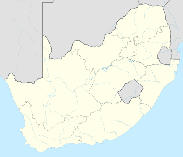 Mookgophong  Mookgophong
| |
| Coordinates: 24°31′S 28°43′E / 24.517°S 28.717°ECoordinates: 24°31′S 28°43′E / 24.517°S 28.717°E | |
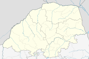
| Country | South Africa |
| Province | Limpopo |
| District | Waterberg |
| Municipality | Mookgophong |
| Established | 1907 |
| • Councillor | (ANC) |
| Area[1] | |
| • Total | 27.18 km2 (10.49 sq mi) |
| Population (2011)[1] | |
| • Total | 24,853 |
| • Density | 910/km2 (2,400/sq mi) |
| Racial makeup (2011)[1] | |
| • Black African | 88.1% |
| • Coloured | 0.4% |
| • Indian/Asian | 0.2% |
| • White | 10.9% |
| • Other | 0.5% |
| First languages (2011)[1] | |
| • Northern Sotho | 56.3% |
| • Tsonga | 13.7% |
| • Afrikaans | 10.9% |
| • Sotho | 6.1% |
| • Other | 12.9% |
| Postal code (street) | 0560 |
| PO box | 0560 |
| Area code | 014 |
Mookgophong, also known by its former name, Naboomspruit, is a town in the Limpopo province of South Africa.
Town 42 km north-east of Modimolle and 51 km south-west of Mokopane. It was founded on the farm Vischgat in 1907 and administered by a health committee from 1919. The name Naboomspruit is Afrikaans but derived from Khoekhoen; ‘euphorbia tree stream’, after the Euphorbia ingens which grows there.[2] The town was officially renamed Mookgophong on the 24 November 2006, by the South African government.[3]
References
- 1 2 3 4 "Main Place Mookgophong". Census 2011.
- ↑ "Dictionary of Southern African Place Names (Public Domain)". Human Science Research Council. p. 325.
- ↑ Old place names
Municipalities and communities of Waterberg District Municipality, Limpopo | ||
|---|---|---|
District seat: Modimolle | ||
| Thabazimbi | .svg.png) | |
| Lephalale | ||
| Mookgophong | ||
| Modimolle | ||
| Bela-Bela | ||
| Mogalakwena | ||
This article is issued from Wikipedia - version of the 10/28/2016. The text is available under the Creative Commons Attribution/Share Alike but additional terms may apply for the media files.