Milcombe, Cornwall
| Milcombe | |
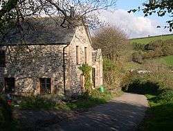 Renovated houses at Milcombe |
|
 Milcombe |
|
| OS grid reference | SX230554 |
|---|---|
| Civil parish | Pelynt |
| Unitary authority | Cornwall |
| Ceremonial county | Cornwall |
| Region | South West |
| Country | England |
| Sovereign state | United Kingdom |
| EU Parliament | South West England |
Coordinates: 50°22′19″N 4°29′24″W / 50.3719°N 4.4901°W
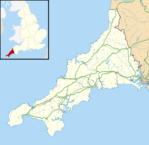
Milcombe is a hamlet in the parish of Pelynt in Cornwall, England.[1][2] Milcombe is in the valley of the West Looe River south of Sowden's Bridge and east of Muchlarnick.[1]
References
- 1 2 Ordnance Survey: Landranger map sheet 201 Plymouth & Launceston (Tavistock & Looe) (Map). Ordnance Survey. ISBN 978-0-319-23287-3.
- ↑ "Ordnance Survey Election Maps". www.ordnancesurvey.co.uk. Ordnance Survey. Retrieved 30 March 2016.
Cornwall Portal | |
| Unitary authorities | |
| Major settlements |
|
| Rivers | |
| Topics | |
This article is issued from Wikipedia - version of the 3/30/2016. The text is available under the Creative Commons Attribution/Share Alike but additional terms may apply for the media files.