Meyronne, Saskatchewan
| Meyronne | |
|---|---|
| Special service area[1] | |
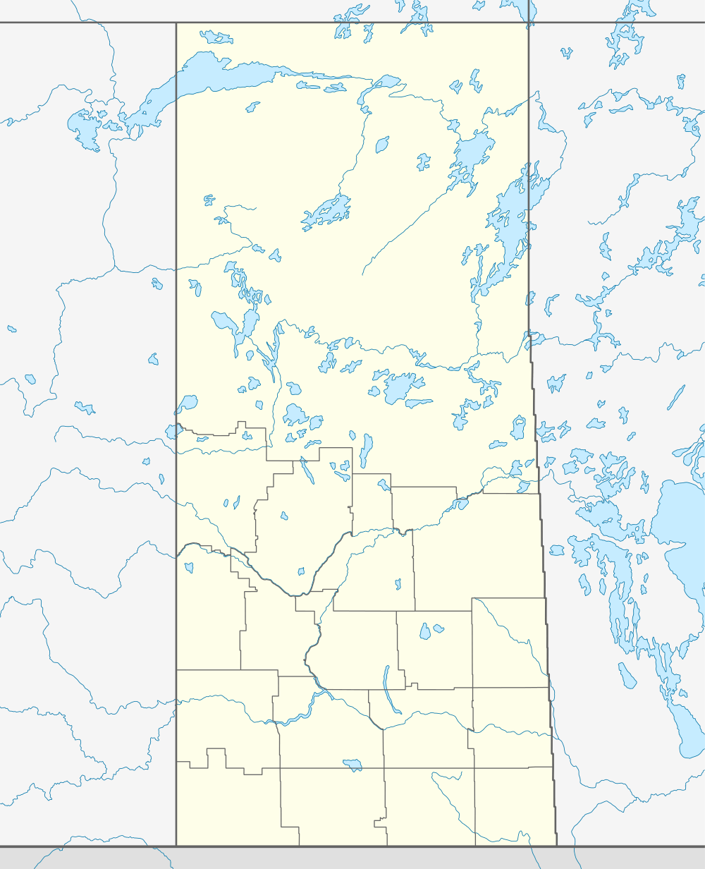  Location of Meyronne in Saskatchewan | |
| Coordinates: 49°39′58″N 106°50′49″W / 49.666°N 106.847°W | |
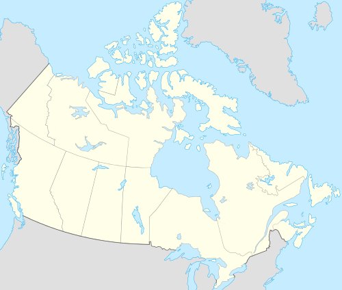
| Country | Canada |
| Province | Saskatchewan |
| Region | Saskatchewan |
| Census division | 3 |
| Rural Municipality | Pinto Creek |
| Post office founded | June 1, 1909 |
| Incorporated (village) | N/A |
| Restructured (special service area) | September 5, 2006 |
| Government | |
| • Governing body | R.M. Pinto Creek No. 75 |
| Area | |
| • Total | 0.53 km2 (0.20 sq mi) |
| Population (2001) | |
| • Total | 35 |
| • Density | 65.5/km2 (170/sq mi) |
| Time zone | CST |
| Area code(s) | 306 |
| Highways |
Highway 13 Highway 611 |
| [2][3][4][5] | |
Meyronne is a special service area in the Canadian province of Saskatchewan. It was reorganised from a village into a special service area on September 5, 2006.
Demographics
| Canada census – Meyronne, Saskatchewan community profile | |||
|---|---|---|---|
| 2001 | |||
| Population: | 35 (-12.5% from 1996) | ||
| Land area: | 0.53 km2 (0.20 sq mi) | ||
| Population density: | 65.5/km2 (170/sq mi) | ||
| Median age: | NA (M: NA, F: NA) | ||
| Total private dwellings: | 17 | ||
| Median household income: | $NA | ||
| References: 2001[6] | |||
Infrastructure
Saskatchewan Transportation Company provides intercity bus service to Meyronne.[7]
See also
 |
Bateman | | ||
| Kincaid | |
Woodrow | ||
| ||||
| | ||||
| McCord |
References
- ↑ "Search for Municipal Information". Government of Saskatchewan. Retrieved April 7, 2014.
- ↑ National Archives, Archivia Net, Post Offices and Postmasters
- ↑ Government of Saskatchewan, MRD Home, Municipal Directory System, archived from the original (– Scholar search) on November 21, 2008
- ↑ Canadian Textiles Institute. (2005), CTI Determine your provincial constituency
- ↑ Commissioner of Canada Elections, Chief Electoral Officer of Canada (2005), Elections Canada On-line
- ↑ "2001 Community Profiles". Canada 2001 Census. Statistics Canada. February 17, 2012.
- ↑ STC Route Map
| Subdivisions | |
|---|---|
| Communities | |
| Cities | |
| Topics |
|
| |
Coordinates: 49°39′58″N 106°50′49″W / 49.666°N 106.847°W
This article is issued from Wikipedia - version of the 9/10/2016. The text is available under the Creative Commons Attribution/Share Alike but additional terms may apply for the media files.