Mervin, Saskatchewan
| Village of Mervin | |
|---|---|
| Village | |
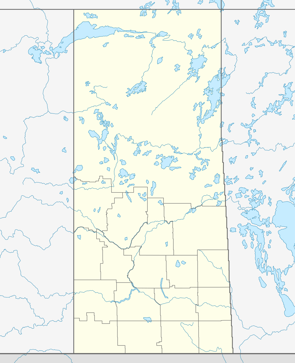  Location of Mervin in Saskatchewan | |
| Coordinates: 53°19′59″N 108°52′23″W / 53.333°N 108.873°W | |
| Country | Canada |
| Province | Saskatchewan |
| Region | Saskatchewan |
| Census division | 17 |
| Rural Municipality | Mervin |
| Post office Founded | N/A |
| Incorporated (Village) | N/A |
| Incorporated (Town) | N/A |
| Government | |
| • Mayor | Murray Knight |
| • Administrator | Lora Hundt |
| • Governing body | Mervin Village Council |
| Area | |
| • Total | 0.73 km2 (0.28 sq mi) |
| Population (2006) | |
| • Total | 228 |
| • Density | 198.7/km2 (515/sq mi) |
| Time zone | CST |
| Postal code | S0M 1Y0 |
| Area code(s) | 306 |
| Highways | Highway 26 |
| [1][2][3][4] | |
Mervin is a village in the Canadian province of Saskatchewan.
The village took its name from the son of the first postmaster, Archie Gemmell.[5]
Demographics
| Canada census – Mervin, Saskatchewan community profile | |||
|---|---|---|---|
| 2011 | 2006 | 2001 | |
| Population: | 160 (10.3% from 2006) | 228 (56.2% from 2001) | 146 (-9.3% from 1996) |
| Land area: | 0.73 km2 (0.28 sq mi) | 0.73 km2 (0.28 sq mi) | 0.73 km2 (0.28 sq mi) |
| Population density: | 217.8/km2 (564/sq mi) | 310.3/km2 (804/sq mi) | 8.8/km2 (23/sq mi) |
| Median age: | 46.2 (M: 44.0, F: 47.2) | 42.2 (M: 42.3, F: 42.1) | 48.5 (M: 44.0, F: 57.5) |
| Total private dwellings: | 86 | 100 | 86 |
| Median household income: | $N/A | $NA | |
| References: 2011[6] 2006[7] 2001[8] | |||
Variations in data from 2006 to 2011 due to changes in boundaries.
See also
 |
| |||
| |
||||
| ||||
| | ||||
Footnotes
- ↑ National Archives, Archivia Net, Post Offices and Postmasters
- ↑ Government of Saskatchewan, MRD Home, Municipal Directory System, archived from the original on November 21, 2008
- ↑ Canadian Textiles Institute. (2005), CTI Determine your provincial constituency
- ↑ Commissioner of Canada Elections, Chief Electoral Officer of Canada (2005), Elections Canada On-line
- ↑ Mervin Homecoming Committee (1982). Mervin memories : a history of Mervin and the following school districts: Aroma, Brooksdale, Clover Lake, Coredlia, Daysville, Dulwich, Louisville, Mervin. pp. 111–114. Retrieved 2012-03-04.
- ↑ "2011 Community Profiles". Canada 2011 Census. Statistics Canada. July 5, 2013. Retrieved 2012-07-08.
- ↑ "2006 Community Profiles". Canada 2006 Census. Statistics Canada. March 30, 2011. Retrieved 2012-07-08.
- ↑ "2001 Community Profiles". Canada 2001 Census. Statistics Canada. February 17, 2012.
External links
- Village of Mervin Homepage
- Mervin Village Council
- Saskatchewan City & Town Maps
- Saskatchewan Gen Web - One Room School Project
- Post Offices and Postmasters - ArchiviaNet - Library and Archives Canada
- Saskatchewan Gen Web Region
- Online Historical Map Digitization Project
- GeoNames Query
- 2001 Community Profiles
| Subdivisions | |
|---|---|
| Communities | |
| Cities | |
| Topics |
|
| |
Coordinates: 53°19′59″N 108°52′23″W / 53.333°N 108.873°W
This article is issued from Wikipedia - version of the 9/10/2016. The text is available under the Creative Commons Attribution/Share Alike but additional terms may apply for the media files.