Maliotenam
| Maliotenam | |
|---|---|
| Indian reserve | |
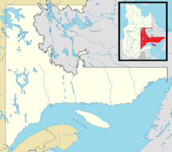 Maliotenam Location in Côte-Nord region of Quebec. | |
| Coordinates: 50°13′N 66°11′W / 50.217°N 66.183°WCoordinates: 50°13′N 66°11′W / 50.217°N 66.183°W[1] | |
| Country |
|
| Province |
|
| Region | Côte-Nord |
| RCM | None |
| Constituted | unspecified |
| Government[2] | |
| • Federal riding | Manicouagan |
| • Prov. riding | Duplessis |
| Area[2][3] | |
| • Total | 5.20 km2 (2.01 sq mi) |
| • Land | 5.17 km2 (2.00 sq mi) |
| Population (2011)[3] | |
| • Total | 1,316 |
| • Density | 254.5/km2 (659/sq mi) |
| • Change (2006–11) |
|
| • Dwellings | 445 |
| Time zone | EST (UTC−5) |
| • Summer (DST) | EDT (UTC−4) |
Maliotenam (Mani-Utenam in Innu-aimun) is an Indian reserve in Quebec, located adjacent to the city of Sept-Îles. Together with Uashat some distance away, it forms the Innu community of Uashat-Maliotenam.
References
This article is issued from Wikipedia - version of the 10/23/2014. The text is available under the Creative Commons Attribution/Share Alike but additional terms may apply for the media files.