Majorganj (community development block)
| Majorganj मजोरगंज सामुदायिक विकास खंड | |
|---|---|
| Community Development Block | |
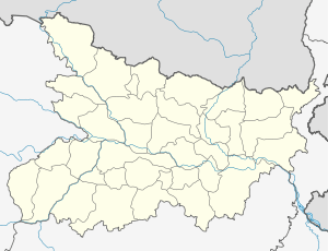 Majorganj  Majorganj Location in Bihar, India | |
| Coordinates: 26°43′47″N 85°29′16″E / 26.7296110°N 85.4878120°ECoordinates: 26°43′47″N 85°29′16″E / 26.7296110°N 85.4878120°E | |
| Country |
|
| State | Bihar |
| District | Sitamarhi |
| Population (2001) | |
| • Total | 80,195 |
| Languages | |
| • Official | Maithili, Hindi |
| Time zone | IST (UTC+5:30) |
| PIN | 843332 |
| Telephone code | +91 6226 |
| Lok Sabha constituency | Sitamarhi |
| Vidhan Sabha constituency | Bathnaha |
Majorganj (community development block) is an administrative division in Sitamarhi district in the Indian state of Bihar. Jay Mata di int udyog Kuarimadan
Geography
Majorganj is located at 26°43′47″N 85°29′16″E / 26.7296110°N 85.4878120°E Majorganj block area ends with border of Nepal. It is a developing market place and most of the revenue of this market comes from retail customers of Nepal.
Panchayats
Panchayats in Majorganj community development block are: Ratanpur, Basbitta, Pachharwa, Bahera, Kuari Madan, Mejorganj, Khairwa and Dumri Kala.[1]
Demographics
As per 2001 census, Majoganj block had a population of 80,195.[2]
See also
References
- ↑ "Majorganj". Blocks of Sitamarhi. brandbihar.com. Retrieved 2011-02-07.
- ↑ "Republic of India, Bihar". Geo Hive. Retrieved 2011-02-07.
This article is issued from Wikipedia - version of the 9/20/2016. The text is available under the Creative Commons Attribution/Share Alike but additional terms may apply for the media files.