Linden, Gauteng
| Linden | |
|---|---|
 Linden 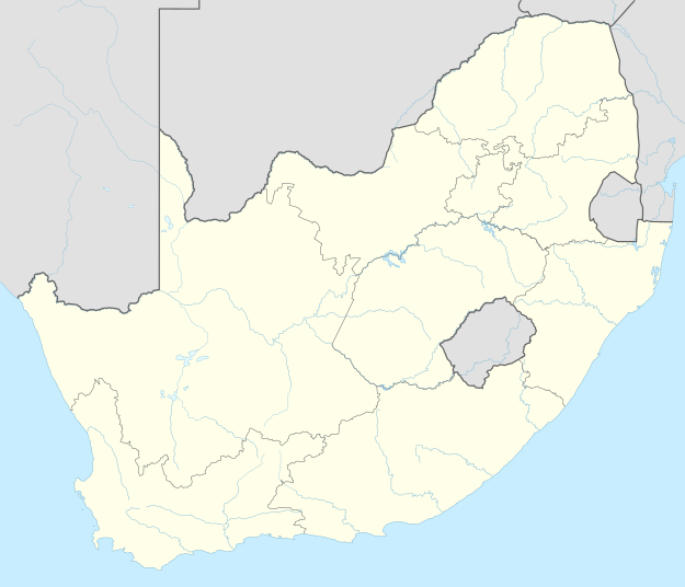 Linden  Linden
| |
|
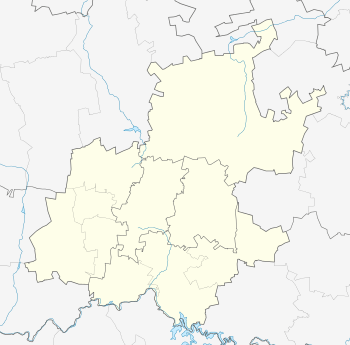
Location within Greater Johannesburg 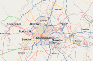 Linden | |
| Coordinates: 26°08′06″S 27°59′31″E / 26.135°S 27.992°ECoordinates: 26°08′06″S 27°59′31″E / 26.135°S 27.992°E | |
| Country | South Africa |
| Province | Gauteng |
| Municipality | City of Johannesburg |
| Main Place | Randburg |
| Area[1] | |
| • Total | 4.04 km2 (1.56 sq mi) |
| Population (2011)[1] | |
| • Total | 8,629 |
| • Density | 2,100/km2 (5,500/sq mi) |
| Racial makeup (2011)[1] | |
| • Black African | 21.8% |
| • Coloured | 2.5% |
| • Indian/Asian | 7.9% |
| • White | 66.7% |
| • Other | 1.2% |
| First languages (2011)[1] | |
| • English | 49.7% |
| • Afrikaans | 30.3% |
| • Zulu | 3.7% |
| • Tswana | 3.6% |
| • Other | 12.7% |
| Postal code (street) | 2195 |
| PO box | 2104 |
| Area code | 2195 |
Linden is a suburb of Johannesburg, South Africa - situated along the border of Randburg.
This established up-market suburb 5-8km north-west of the Johannesburg CBD was designed so that most of the streets and avenues form similar sized "blocks" of housing areas. Forth Avenue passes through the middle, along which a number of shops, churches and schools can be found. Attractions include Arts & Crafts, Dining, Coffee Shops, etc. Bordering suburbs include North Cliff, Blairgowrie, Victory Park, Greenside, Cresta
References
- 1 2 3 4 "Sub Place Linden". Census 2011.
External links
This article is issued from Wikipedia - version of the 11/21/2016. The text is available under the Creative Commons Attribution/Share Alike but additional terms may apply for the media files.