Lengefeld
| Lengefeld | ||
|---|---|---|
| Ortsteil of Pockau-Lengefeld | ||
| ||
 Lengefeld | ||
| Coordinates: 50°43′N 13°11′E / 50.717°N 13.183°ECoordinates: 50°43′N 13°11′E / 50.717°N 13.183°E | ||
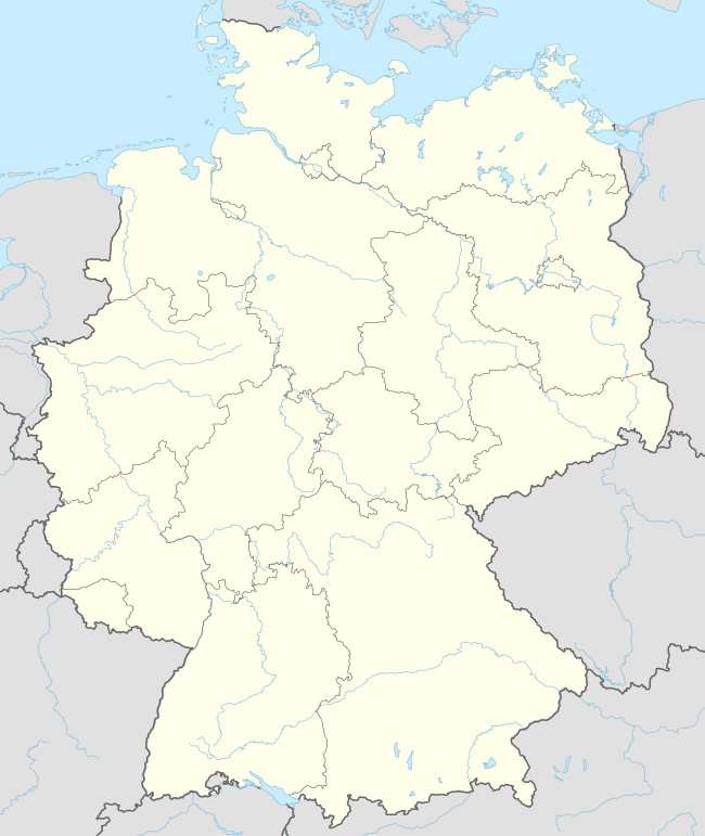
| Country | Germany | |
| State | Saxony | |
| District | Erzgebirgskreis | |
| Town | Pockau-Lengefeld | |
| Area | ||
| • Total | 47.52 km2 (18.35 sq mi) | |
| Population (2012-12-31) | ||
| • Total | 4,290 | |
| • Density | 90/km2 (230/sq mi) | |
| Time zone | CET/CEST (UTC+1/+2) | |
| Postal codes | 09514 | |
| Dialling codes | 037367 | |
| Vehicle registration | ERZ | |
| Website | lengefeld.de | |

Lengefeld is a town and a former municipality in the district Erzgebirgskreis, in the Free State of Saxony, Germany. It is situated in the Ore Mountains, 23 km southeast of Chemnitz. On 1 January 2014 it was merged with the municipality Pockau to form the town Pockau-Lengefeld.
Sights
- Lengefeld Lime Works Museum
References
This article is issued from Wikipedia - version of the 6/21/2015. The text is available under the Creative Commons Attribution/Share Alike but additional terms may apply for the media files.