Lang, Saskatchewan
For other uses, see Lang.
| Village of Lang | ||
|---|---|---|
|
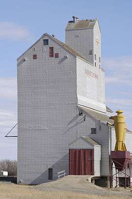
Grain elevator in Lang | ||
| ||
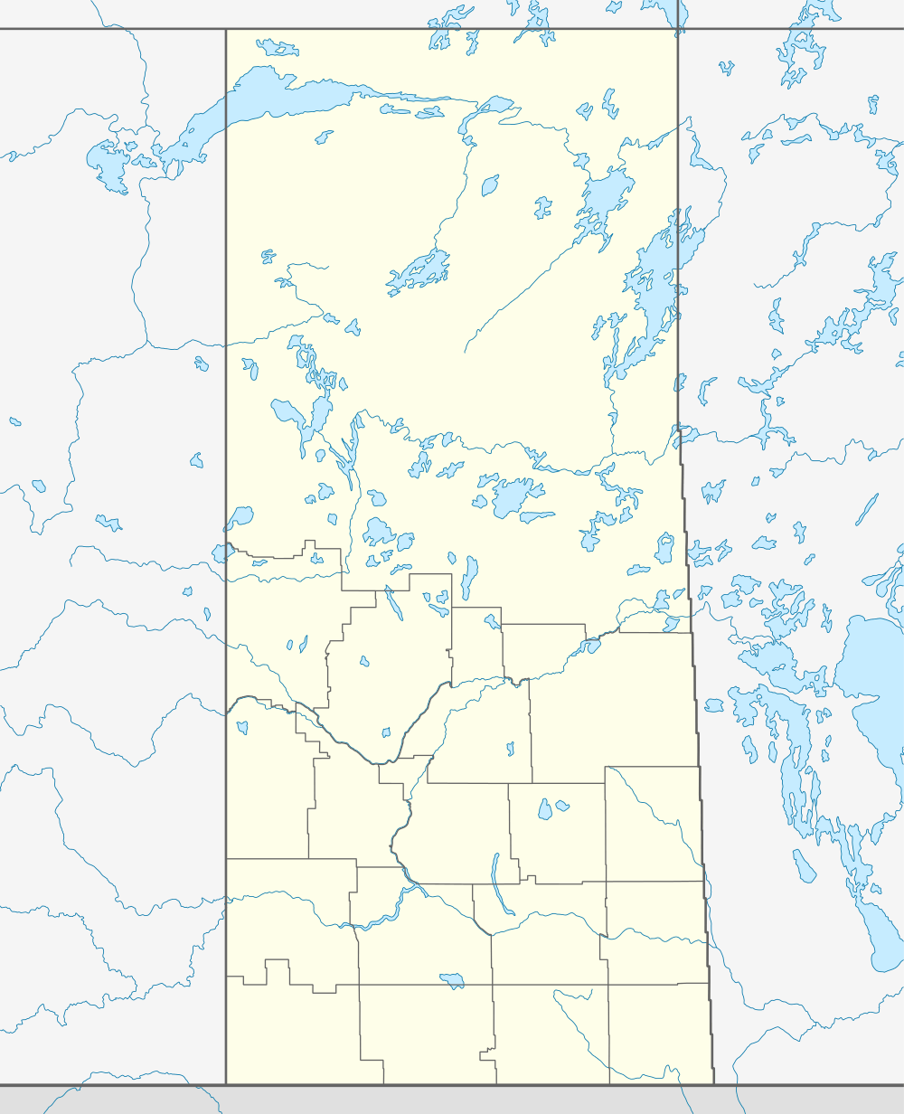  Lang in Saskatchewan | ||
| Coordinates: 49°55′07″N 104°22′22″W / 49.91853°N 104.37282°W | ||
| Country | Canada | |
| Province | Saskatchewan | |
| Region | Saskatchewan | |
| Census division | 2 | |
| Rural Municipality | Scott | |
| Post office Founded | May 15, 1904 | |
| Incorporated (Village) | N/A | |
| Incorporated (Town) | N/A | |
| Government | ||
| • Mayor | Al Broderick | |
| • Administrator | Audette Ernest | |
| • Governing body | Lang Village Council | |
| Area | ||
| • Total | 0.64 km2 (0.25 sq mi) | |
| Population (2001) | ||
| • Total | 189 | |
| • Density | 293.8/km2 (761/sq mi) | |
| Time zone | CST | |
| Postal code | S0G 2W0 | |
| Area code(s) | 306 | |
| Highways | Highway 39 | |
| Website | http://www.langsk.com/ | |
| [1][2][3][4] | ||
Lang is a village in the Canadian province of Saskatchewan.
Demographics
| Canada census – Lang, Saskatchewan community profile | |||
|---|---|---|---|
| 2001 | |||
| Population: | 189 (0.0% from 1996) | ||
| Land area: | 0.64 km2 (0.25 sq mi) | ||
| Population density: | 293.8/km2 (761/sq mi) | ||
| Median age: | 44.1 (M: 44.3, F: 44.0) | ||
| Total private dwellings: | 89 | ||
| Median household income: | $NA | ||
| References: 2001[5] | |||
Education
Students from Lang attend school in Milestone, of the Prairie Valley School Division.
See also
 |
Milestone | Lewvan | | |
| |
||||
| ||||
| | ||||
| Parry | Yellow Grass |
External links
- Village of Lang
- Saskatchewan City & Town Maps
- Saskatchewan Gen Web - One Room School Project
- Post Offices and Postmasters - ArchiviaNet - Library and Archives Canada
- Saskatchewan Gen Web Region
- Online Historical Map Digitization Project
- GeoNames Query
- 2006 Community Profiles
Footnotes
- ↑ National Archives, Archivia Net, Post Offices and Postmasters
- ↑ Government of Saskatchewan, MRD Home, Municipal Directory System, archived from the original on November 21, 2008
- ↑ Canadian Textiles Institute. (2005), CTI Determine your provincial constituency
- ↑ Commissioner of Canada Elections, Chief Electoral Officer of Canada (2005), Elections Canada On-line
- ↑ "2001 Community Profiles". Canada 2001 Census. Statistics Canada. February 17, 2012.
| Subdivisions | |
|---|---|
| Communities | |
| Cities | |
| Topics |
|
| |
Coordinates: 49°55′08″N 104°22′19″W / 49.919°N 104.372°W
This article is issued from Wikipedia - version of the 11/18/2016. The text is available under the Creative Commons Attribution/Share Alike but additional terms may apply for the media files.