Kymenlaakso
| Kymenlaakso Kymenlaakson maakunta Kymmenedalens landskap | ||
|---|---|---|
| Region | ||
| ||
 Kymenlaakso on a map of Finland | ||
| Country | Finland | |
| Historical province | Uusimaa, Karelia, Tavastia | |
| Area | ||
| • Total | 5,595.36 km2 (2,160.38 sq mi) | |
| Population (2013) | ||
| • Total | 180,845 | |
| • Density | 32/km2 (84/sq mi) | |
| Time zone | EET (UTC+2) | |
| • Summer (DST) | EEST (UTC+3) | |
| ISO 3166 code | FI-09 | |
| NUTS | 186 | |
| Regional bird | Eurasian bullfinch (Pyrrhula pyrrhula) | |
| Regional flower | Yellow Iris (Iris pseudacorus) | |
| Website |
www | |
Kymenlaakso (literally Kymi Valley) (Swedish: Kymmenedalen) is a region in Finland. It borders to the regions Uusimaa, Päijänne Tavastia, Southern Savonia and South Karelia. Its name means literally The Valley of River Kymijoki. Kymijoki is one of the biggest rivers in Finland with a drainage basin with 11% of the area of Finland. The city of Kotka with 55,000 inhabitants is located at the delta of River Kymijoki and has the most important import harbour in Finland. Other cities are Kouvola further in the inland which has after a municipal merger 88,000 inhabitants and the old bastion town Hamina.
Historical provinces
For history, geography and culture see: Uusimaa, Karelia and Tavastia
Municipalities
The region of Kymenlaakso is made up of seven municipalities, of which three have city status (marked in bold).
|
Kotka-Hamina Sub-region:
|
Kouvola Sub-region: |
Politics
Results of the Finnish parliamentary election, 2011 in Kymenlaakso:
- True Finns 25.1%
- Social Democratic Party 23.2%
- National Coalition Party 17.8%
- Centre Party 13.9%
- Left Alliance 7.7%
- Christian Democrats 6.7%
- Green League 4.1%
Gallery
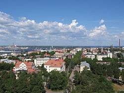 A general view of Kotka town centre
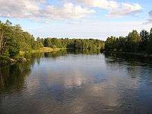 Kymijoki River
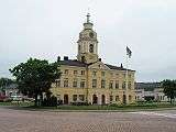 Hamina Town Hall
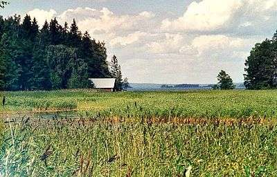 Österviken Bay in the Gulf of Finland, Pyhtää
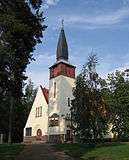 Inkeroinen church in Kouvola
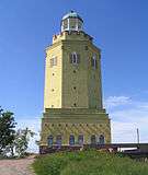 Haukkavuori Tower, Kotka
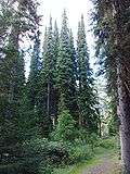 Mustila Arboretum in Kouvola, the biggest and oldest one in Finland
 Ships in Kotka harbour
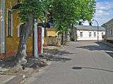 A view from the round streets of Hamina
 Anjala church, Kouvola
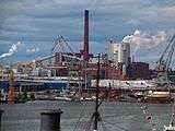 Sunila Factory; Kymenlaakso has a strong tradition of pulp mills
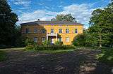 Anjala Manor, Kouvola
 Architecture in Kotka
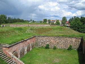 Bastions in Hamina
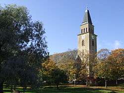 Kuusankoski church in Kouvola
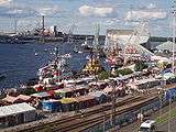 Old harbour in Kotka with the Maritime Centre Vellamo during Meripäivät, an annual sea-related festival in Kotka
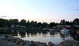 Kaunissaari, an island in Pyhtää
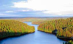 Repovesi National Park, Kouvola
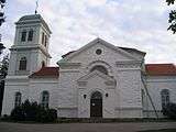 Kymi church in Kotka
 A view from Verla mill village in Kouvola
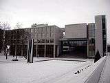 Kouvola Town Hall
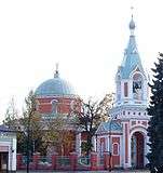 The orthodox St. Peter-Paul Church in Hamina
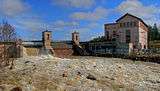 Ahvenkoski Rapids in Kymijoki River, Pyhtää
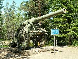 A cannon from Salpa Line, Miehikkälä
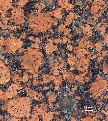 The Rapakivi granite found especially in Virolahti was used in great measures to build the city of St Petersburg
External links
| Wikimedia Commons has media related to Kymenlaakso. |
| Regions | ||
|---|---|---|
| Former regions | ||
Coordinates: 60°30′N 027°00′E / 60.500°N 27.000°E