Kumbulak
Coordinates: 39°58′00″N 43°32′00″E / 39.96667°N 43.53333°E
| Kumbulak | |
|---|---|
 Kumbulak Location of Kumbulak | |
| Coordinates: 39°58′N 43°32′E / 39.967°N 43.533°E | |
| Country | Turkey |
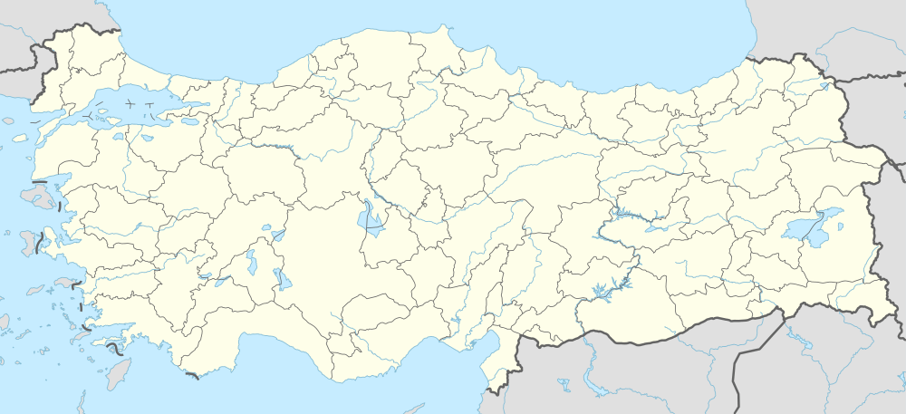
| Region | Eastern Anatolia Region, Turkey |
| Province | Iğdır Province |
| District | Tuzluca |
| Elevation | 2,104 m (6,903 ft) |
| Population | |
| • Total | 20 |
| Time zone | EET (UTC+2) |
| • Summer (DST) | EEST (UTC+3) |
Kumbulak is a hamlet in the Tuzluca district of the Iğdır Province in Turkey, with a population of about 20. The village economy is based on agriculture and animal husbandry.
References
External links
This article is issued from Wikipedia - version of the 9/30/2016. The text is available under the Creative Commons Attribution/Share Alike but additional terms may apply for the media files.