Kotoriba
| Kotoriba | |
|---|---|
| Municipality | |
|
Location within Međimurje County | |
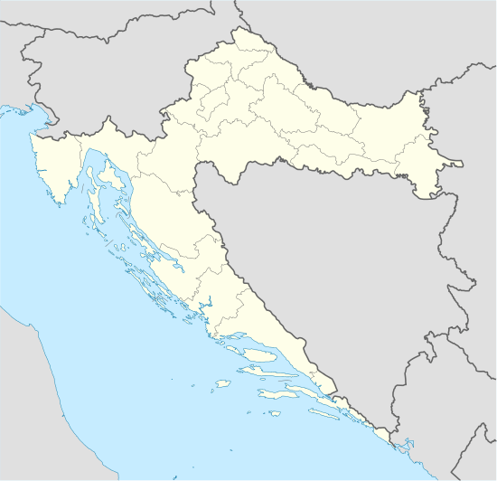 Kotoriba Location of Kotoriba in Croatia | |
| Coordinates: 46°22′N 16°49′E / 46.367°N 16.817°E | |
| Country |
|
| County | Međimurje |
| Government | |
| • Municipal mayor | Ljubomir Grgec |
| Area | |
| • Total | 26.58 km2 (10.26 sq mi) |
| Population (2011)[1] | |
| • Total | 3,224 |
| • Density | 120/km2 (310/sq mi) |
| Time zone | CET (UTC+1) |
| • Summer (DST) | CEST (UTC+2) |
| Postal code | 40329 Kotoriba |
| Website |
www |

Kotoriba (Hungarian: Kotor) is a village and municipality in Međimurje County, in northern Croatia.
It is located in the south-eastern part of the county, near the Mura River and border with Hungary, approximately 36 kilometres south-east of Čakovec and 20 kilometres east of Prelog, the largest and second-largest city of Međimurje County respectively. It is connected with Čakovec by both road and railroad.
Kotoriba is the only village in the municipality. In the 2011 census, it had a population of 3,224.
Kotoriba is known for being the site of the oldest railway station in the present-day Croatia. The opening ceremony was held on 24 April 1860.[2]
References
- ↑ "Population by Age and Sex, by Settlements, 2011 Census: Kotoriba". Census of Population, Households and Dwellings 2011. Zagreb: Croatian Bureau of Statistics. December 2012.
- ↑ http://www.kotoriba.hr/prvapruga.html (Croatian)
External links
- Website of the municipality (Croatian)
Subdivisions of Međimurje County | ||
|---|---|---|
| Towns |
| .svg.png) |
| Municipalities | ||
Coordinates: 46°21′N 16°49′E / 46.350°N 16.817°E
This article is issued from Wikipedia - version of the 2/5/2016. The text is available under the Creative Commons Attribution/Share Alike but additional terms may apply for the media files.