Kembhavi
| Kembhavi | |
|---|---|
| village | |
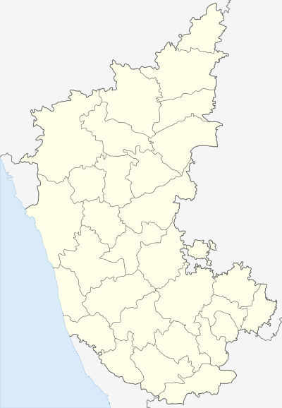 Kembhavi  Kembhavi Location in Karnataka, India | |
| Coordinates: 16°39′N 76°32′E / 16.650°N 76.533°ECoordinates: 16°39′N 76°32′E / 16.650°N 76.533°E | |
| Country |
|
| State | Karnataka |
| District | Yadgir |
| Talukas | Shorapur |
| Government | |
| • Type | Panchayat raj |
| • Body | Gram panchayat |
| Population (2001) | |
| • Total | 13,077 |
| Languages | |
| • Official | Kannada |
| Time zone | IST (UTC+5:30) |
| ISO 3166 code | IN-KA |
| Vehicle registration | KA |
| Website |
karnataka |
Kembhavi is a village in the southern state of Karnataka, India.[1][2] It is located in the Shorapur taluk of Yadgir district in Karnataka.
Demographics
As of 2001 India census, Kembhavi had a population of 13077 with 6679 males and 6398 females.[1]
Places of Importance
Kembhavi has many places of interest 1. MaSaheb Dargah 2. Bhogeshwara Temples 3. Eight sided well 4. Tombs in Adil Shahi style
See also
References
- 1 2 Village code= 350800 "Census of India : Villages with population 5000 & above". Retrieved 2008-12-18.
|first1=missing|last1=in Authors list (help) - ↑ "Yahoomaps India :". Retrieved 2008-12-18. Kembhavi, Gulbarga, Karnataka
External links
District HQ: Yadgir | |||||||||||
| Cities and towns | |||||||||||
| Villages and other settlements | |||||||||||
| Parks, reserves and places of interest | |||||||||||
This article is issued from Wikipedia - version of the 10/16/2016. The text is available under the Creative Commons Attribution/Share Alike but additional terms may apply for the media files.