Katkamdag (community development block)
| Katkamdag | |
|---|---|
| Community development block | |
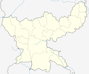 Katkamdag  Katkamdag Location in Jharkhand | |
| Coordinates: 23°58′53″N 85°17′29″E / 23.98139°N 85.29139°ECoordinates: 23°58′53″N 85°17′29″E / 23.98139°N 85.29139°E | |
| Country |
|
| State | Jharkhand |
| District | Hazaribagh |
| Government | |
| • Type | Community development block |
| Population (2011) | |
| • Total | 82,385 |
| Languages | |
| • Official | Hindi, Santali |
| Time zone | IST (UTC+5:30) |
| Vehicle registration | JH |
| Lok Sabha constituency | Hazaribagh |
| Vidhan Sabha constituency | Hazaribagh |
| Website |
hazaribag |
| CD Block | |
Katkamdag is a community development block that forms an administrative division in the Hazaribagh Sadar subdivision of Hazaribagh district in the Indian state of Jharkhand.
Geography
Katkamdag is located at 23°58′53″N 85°17′29″E / 23.98139°N 85.29139°E.[1]
Demographics
As per 2011 Census of India Katkamdag CD Block (referred to in census data as Katamdag) had a total population of 82,385, of which 60,150 were rural and 13,235 were urban. There were 42,581 males and 39,804 females. Scheduled Castes numbered 17,309 and Scheduled Tribes numbered 2,604. [2]
Masratu and Kadma are census towns in Katkamdag CD Block.[2]
Literacy
As per 2011 census the total number of literates in Katkamdag CD Block was 48,234 out of which 28,116 were males and 20,118 were females.[2]
References
- ↑ http://wikimapia.org/14557143/Satish-s-Home
- 1 2 3 "C.D. Block Wise Primary Census Abstract Data(PCA)". Jharkhand – District-wise CD Blocks. Registrar General and Census Commissioner, India. Retrieved 30 October 2015.