Kanawha State Forest
| Kanawha State Forest | |
| West Virginia State Forest | |
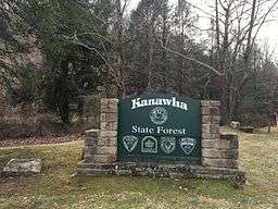 Kanawha State Forest sign | |
| Country | United States |
|---|---|
| State | West Virginia |
| County | Kanawha |
| Elevation | 741 ft (225.9 m) |
| Coordinates | 38°16′53″N 81°38′30″W / 38.28139°N 81.64167°WCoordinates: 38°16′53″N 81°38′30″W / 38.28139°N 81.64167°W |
| Area | 9,300 acres (3,763.6 ha) |
| Owner | West Virginia Division of Natural Resources |
| Nearest city | Charleston, West Virginia |
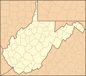 Location of Kanawha State Forest in West Virginia | |
| Wikimedia Commons: Kanawha State Forest | |
| Website: Kanawha State Forest | |
Kanawha State Forest is a 9,300-acre (38 km2) recreation area located near the community of Loudendale, West Virginia, which is about 7 miles (11 km) from downtown Charleston, West Virginia, United States. It is managed by the West Virginia Department of Natural Resources.
While still classified as a "state forest", the West Virginia Legislature has directed that the facility be managed as a state park.
The Davis Creek Road entrance to Kanawha State Forest is located at 38°16′53″N 81°38′30″W / 38.28139°N 81.64167°W (38.28133, -81.64169).[1]
Recreational facilities include overnight camping, picnicking, hiking, a public shooting-range, mountain biking, cross-country skiing and a swimming pool and playground. Several geocaches are located in the forest.[2]
See also
References
- ↑ "US Gazetteer files: 2010, 2000, and 1990". United States Census Bureau. 2011-02-12. Retrieved 2011-04-23.
- ↑ "West Virginia State Parks and Forests Geocaching". West Virginia Division of Natural Resources. Retrieved 2013-01-12.
External links
| Topics |  | |
|---|---|---|
| Top subjects | ||
| Neighborhoods |
| |
| Suburbs | ||