Kalpaki
For the village in Arcadia, see Kalpaki, Arcadia.
| Kalpaki Καλπάκι | |
|---|---|
 Kalpaki | |
|
Location within the regional unit 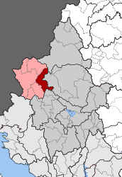 | |
| Coordinates: 39°53′N 20°37′E / 39.883°N 20.617°ECoordinates: 39°53′N 20°37′E / 39.883°N 20.617°E | |
| Country | Greece |
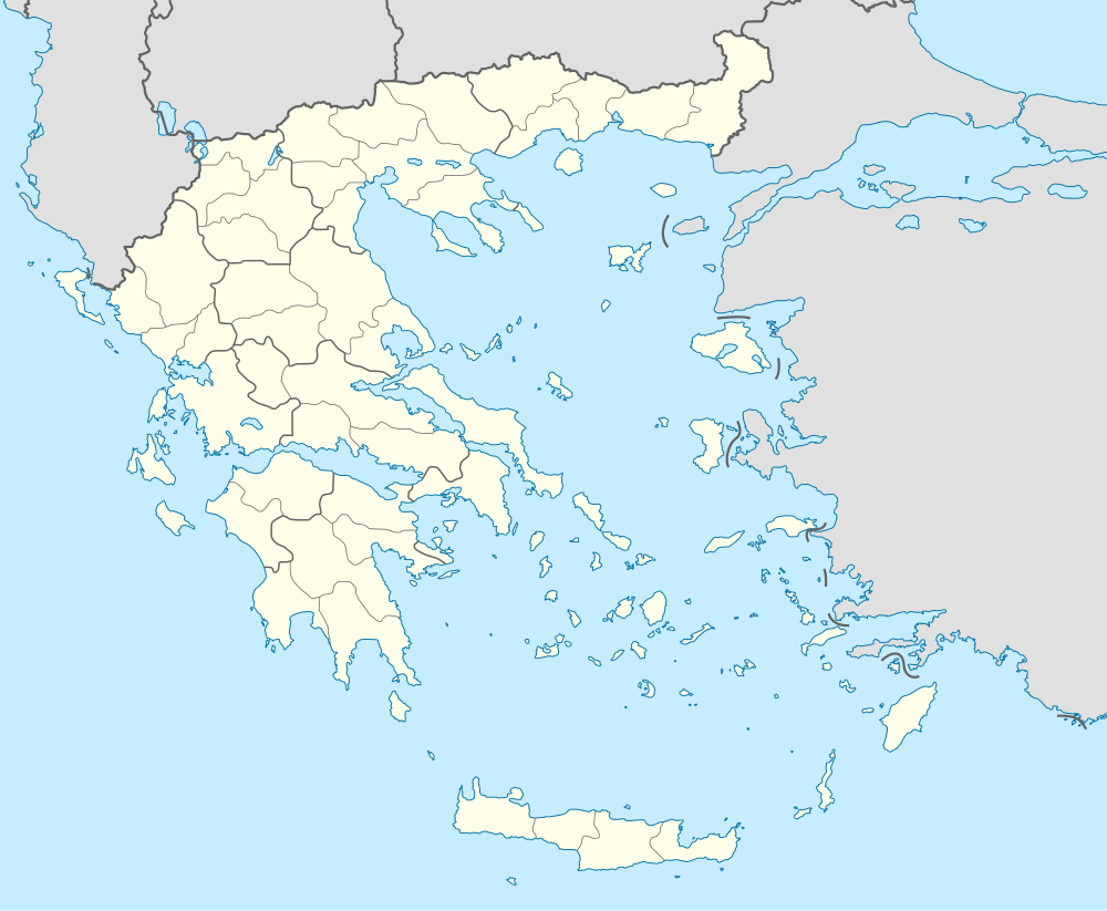
| Administrative region | Epirus |
| Regional unit | Ioannina |
| Municipality | Pogoni |
| • Municipal unit | 116.756 km2 (45.080 sq mi) |
| Population (2011)[1] | |
| • Municipal unit | 1,719 |
| • Municipal unit density | 15/km2 (38/sq mi) |
| Community[1] | |
| • Population | 625 (2011) |
| • Area (km2) | 13.189 |
| Time zone | EET (UTC+2) |
| • Summer (DST) | EEST (UTC+3) |
| Vehicle registration | ΙΝ |
Kalpaki (Greek: Καλπάκι) is a former municipality in the Ioannina regional unit, Epirus, Greece. Since the 2011 local government reform it is part of the municipality Pogoni, of which it is a municipal unit.[2] It is situated about 30 km (19 mi) northwest of Ioannina, and southwest of Konitsa. The municipal unit has an area of 116.756 km2, the community 13.189 km2.[3] Population 1,719 (2011).[1] The Greek National Road 20 connects Kalpaki with Ioannina and Konitsa. The GR-22 connects Kalpaki with Kakavia, the border crossing into southern Albania.
Subdivisions
The municipal unit Kalpaki is subdivided into the following communities (constituent villages in brackets):[1]
- Kalpaki (Kalpaki, Lioumpa)
- Ano Ravenia
- Chrysorrachi
- Doliana (Doliana, Agios Georgios Dolianon)
- Geroplatanos
- Kato Ravenia
- Mavrovouni
- Negrades
Population
| Year | Settlement population | Community population | Municipal unit population |
|---|---|---|---|
| 1981 | 586 | - | - |
| 1991 | 521 | - | 2,874 |
| 2001 | 558 | 754 | 2,324 |
| 2011 | 625 | 625 | 1,719 |
History
Kalpaki joined Greece after the Balkan Wars of 1913.
See also
External links
References
- 1 2 3 4 "Απογραφή Πληθυσμού - Κατοικιών 2011. ΜΟΝΙΜΟΣ Πληθυσμός" (in Greek). Hellenic Statistical Authority.
- ↑ Kallikratis law Greece Ministry of Interior (Greek)
- ↑ "Population & housing census 2001 (incl. area and average elevation)" (PDF) (in Greek). National Statistical Service of Greece.
 |
Ano Pogoni | Konitsa | | |
| Delvinaki | |
Central Zagori | ||
| ||||
| | ||||
| Ano Kalamas | Ekali |
This article is issued from Wikipedia - version of the 12/1/2016. The text is available under the Creative Commons Attribution/Share Alike but additional terms may apply for the media files.