K-11 (Kansas highway)
For the former K-11, now K-99, see K-11 (1927).
| ||||
|---|---|---|---|---|
 | ||||
| Route information | ||||
| Maintained by KDOT | ||||
| Length: | 16.7 mi (26.9 km) | |||
| Existed: | 2013 – present | |||
| Major junctions | ||||
| South end: |
| |||
| North end: |
| |||
| Location | ||||
| Counties: | Kingman, Reno | |||
| Highway system | ||||
| ||||

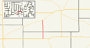
K-11 is a state highway in the U.S. state of Kansas, and uses parts of what was formerly K-14 before it was realigned. It connects US-54/US-400 west of Kingman with K-61 west of Arlington.
History
Before the modern K-11, it used to exist as what is now K-99. In 2013, K-14 was realigned to the now defunct K-17, and K-11 took over a section of original K-14 alignment.
Major intersections
| County | Location | mi | km | Destinations | Notes |
|---|---|---|---|---|---|
| Kingman | | 0.0 | 0.0 | Southern terminus | |
| Reno | Arlington | 16.7 | 26.9 | Northern terminus | |
1.000 mi = 1.609 km; 1.000 km = 0.621 mi
| |||||
References
- 2011, 2013 official Kansas highway maps
This article is issued from Wikipedia - version of the 6/29/2016. The text is available under the Creative Commons Attribution/Share Alike but additional terms may apply for the media files.