Itupeva
| Itupeva | |||
|---|---|---|---|
| Municipality | |||
| |||
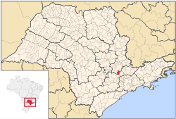 Location in São Paulo state | |||
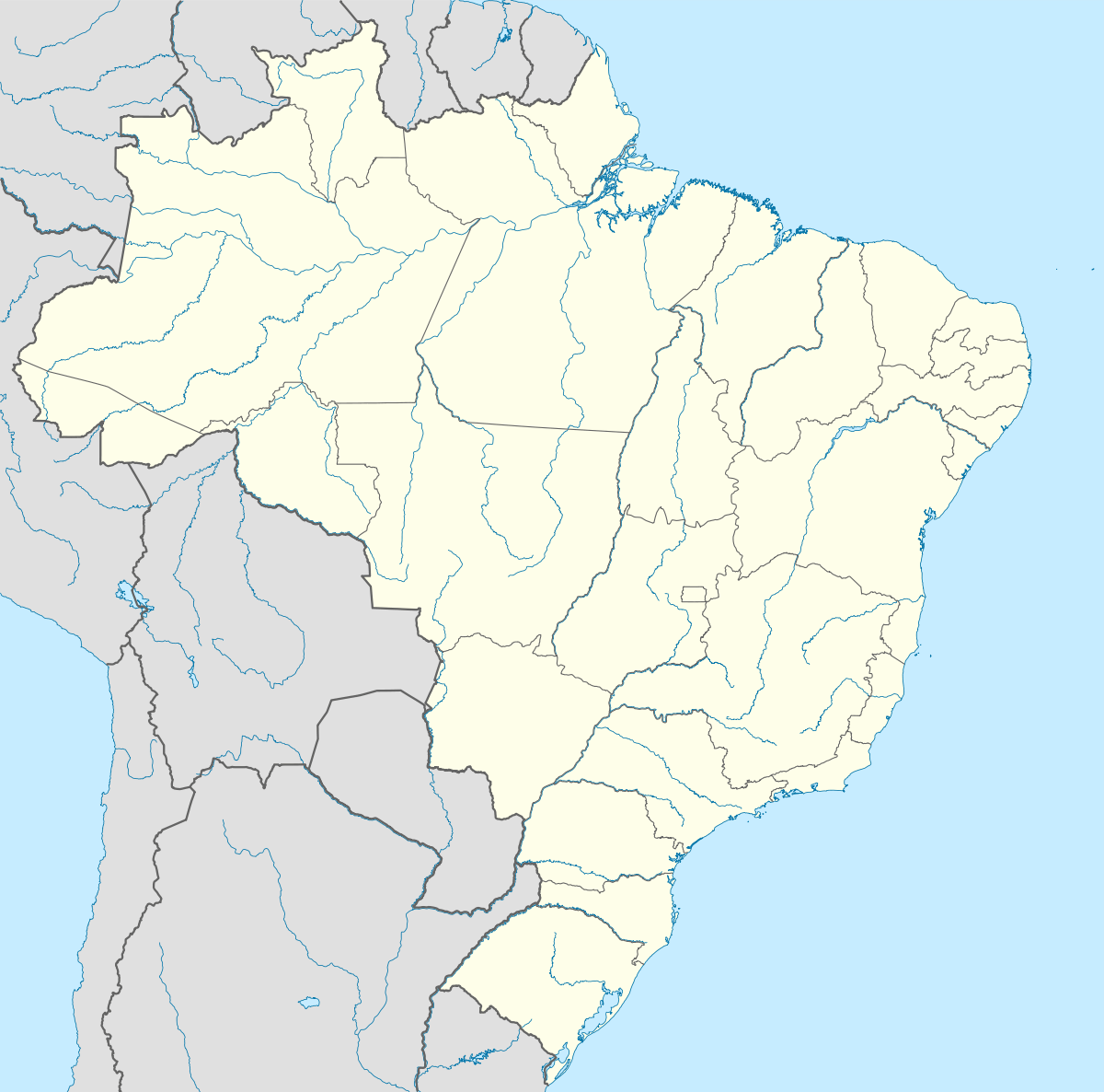 Itupeva Location in Brazil | |||
| Coordinates: 23°9′11″S 47°3′28″W / 23.15306°S 47.05778°WCoordinates: 23°9′11″S 47°3′28″W / 23.15306°S 47.05778°W | |||
| Country |
| ||
| Region | Southeast Region | ||
| State | São Paulo | ||
| Area | |||
| • Total | 201 km2 (78 sq mi) | ||
| Population (2015) | |||
| • Total | 54,128 | ||
| • Density | 270/km2 (700/sq mi) | ||
| Time zone | BRT/BRST (UTC-3/-2) | ||

Itupeva is a municipality in the state of São Paulo in Brazil. The population is 54,128 (2015 est.) in an area of 201 square kilometres (78 sq mi).[1] The elevation is 675 metres (2,215 ft).
References
This article is issued from Wikipedia - version of the 9/22/2016. The text is available under the Creative Commons Attribution/Share Alike but additional terms may apply for the media files.