Itamonte
| Itamonte | |
|---|---|
| Municipality | |
 | |
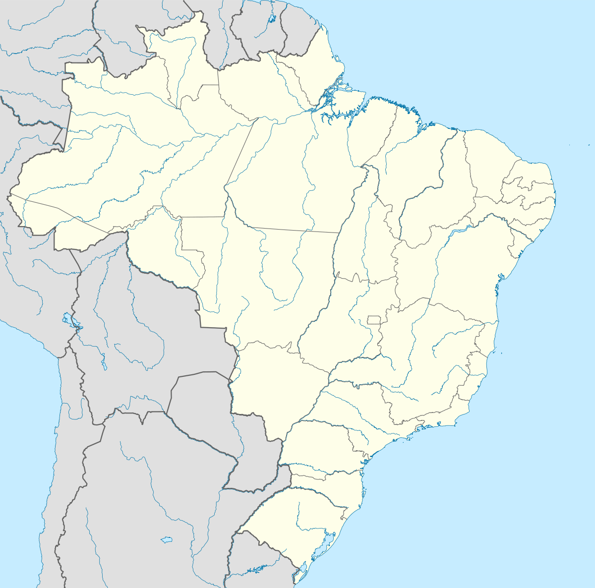 Itamonte Location in Brazil | |
| Coordinates: 22°17′S 44°53′W / 22.283°S 44.883°WCoordinates: 22°17′S 44°53′W / 22.283°S 44.883°W | |
| Country |
|
| Region | Southeast Region |
| State | Minas Gerais |
| Area | |
| • Total | 432 km2 (167 sq mi) |
| Population (2015) | |
| • Total | 15,136 |
| • Density | 35/km2 (91/sq mi) |
| Time zone | BRT/BRST (UTC-3/-2) |
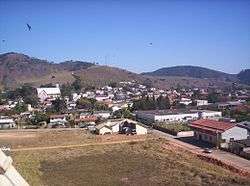
Itamonte is a city in the south of Minas Gerais, Brazil. Its population was 15,136 (2015) and its area is 432 km².[1]
Location
Itamonte is a touristic city in the Serra da Mantiqueira mountains. The territorial area is 430,597 km² big. The city's current mayor is Marcos Tridon de Carvalho, with Ana Ines Costa Silva Chaves being deputy mayor.
The municipality contains 34.54% of the 22,917 hectares (56,630 acres) Serra do Papagaio State Park, created in 1998.[2]
External links
- (Portuguese)Rota Turismo - Agencia de Viagens
- (English)- Rota Turismo Travel Agency
- (Portuguese)Associacao de hoteis de Itamonte
- (Portuguese)Itamonte
- (Portuguese)Portal ITAMONTE.NET - MG
References
- ↑ IBGE -
- ↑ PES da Serra do Papagaio (in Portuguese), ISA: Instituto Socioambiental, retrieved 2016-09-27
This article is issued from Wikipedia - version of the 9/28/2016. The text is available under the Creative Commons Attribution/Share Alike but additional terms may apply for the media files.