Ib railway station
Ib | |
|---|---|
| Indian Railway Station | |
| Location |
Ib, Odisha |
| Coordinates | 21°49′01″N 83°56′56″E / 21.817°N 83.949°E |
| Elevation | 207 m (679 ft) |
| Line(s) | Tatanagar-Bilaspur section of Howrah-Nagpur-Mumbai line |
| Platforms | 2 |
| Tracks | Broad gauge 1,676 mm (5 ft 6 in) |
| Construction | |
| Structure type | Standard (on ground station) |
| Parking | Available |
| Other information | |
| Status | Functioning |
| Station code | IB |
| Zone(s) | South East Central Railway |
| Division(s) | Bilaspur |
| History | |
| Opened | 1891 |
| Electrified | 1969–70 |
| Previous names | Bengal Nagpur Railway |
| Location | |
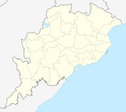 Location of Ib railway station in Odisha | |
Ib is a railway station in the Indian state of Odisha.
It has the distinction of having the shortest name of all stations on the Indian Railways system.[1]
Etymology
The station derives its name from the nearby Ib River.
History
Ib railway station started with the opening of the Nagpur-Asansol main line of Bengal Nagpur Railway in 1891. It became a station on the Howrah-Nagpur-Mumbai line in 1900.[2]
Coalfield
In 1900, when Bengal Nagpur Railway was building a bridge across the Ib River, coal was accidentally discovered in what later became Ib Valley Coalfield.[3]
See also
- Venkatanarasimharajuvaripeta - the station with the longest name on Indian Railways.
References
- ↑ "Trivia". IRFCA. Retrieved 2012-12-05.
- ↑ "Major Events in the Formation of S.E. Railway". South Eastern Railway. Retrieved 2012-12-05.
- ↑ "Collieries". IRFCA. Retrieved 2008-08-31.
| Preceding station | Indian Railways | Following station | ||
|---|---|---|---|---|
| South Eastern Railway zone | Brajarajnagar |
| ECoR |
| ||||||||||
|---|---|---|---|---|---|---|---|---|---|---|---|
| SER |
| ||||||||||
| SECR |
| ||||||||||
This article is issued from Wikipedia - version of the 2/27/2016. The text is available under the Creative Commons Attribution/Share Alike but additional terms may apply for the media files.