Haddam Meadows State Park
| Haddam Meadows State Park | |
| Connecticut State Park | |
 | |
| Country | |
|---|---|
| State | |
| County | Middlesex |
| Town | Haddam |
| Elevation | 10 ft (3 m) [1] |
| Coordinates | 41°28′48″N 72°30′27″W / 41.48000°N 72.50750°WCoordinates: 41°28′48″N 72°30′27″W / 41.48000°N 72.50750°W [1] |
| Area | 175 acres (71 ha) [2] |
| Established | 1944 |
| Management | Connecticut Department of Energy and Environmental Protection |
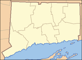 Location in Connecticut | |
| Website: Haddam Meadows State Park | |
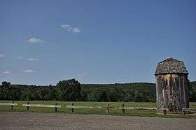
Haddam Meadows State Park is a public recreation area located on the west bank of the Connecticut River in the town of Haddam, Connecticut. The state park offers picnicking, fishing, and boating.[3]
References
- 1 2 "Haddam Meadows State Park". Geographic Names Information System. United States Geological Survey.
- ↑ "Appendix A: List of State Parks and Forests" (PDF). State Parks and Forests: Funding. Staff Findings and Recommendations. Connecticut General Assembly. January 23, 2014. p. A-2. Retrieved March 20, 2014.
- ↑ "Haddam Meadows State Park". State Parks and Forests. Connecticut Department of Energy and Environmental Protection. July 18, 2016. Retrieved September 10, 2016.
External links
- Haddam Meadows State Park Connecticut Department of Energy and Environmental Protection
- Haddam Meadows State Park Map Connecticut Department of Energy and Environmental Protection
This article is issued from Wikipedia - version of the 9/10/2016. The text is available under the Creative Commons Attribution/Share Alike but additional terms may apply for the media files.