Hacton
| Hacton | |
 Hacton |
|
| Population | 12,262 (2011 Census. Ward)[1] |
|---|---|
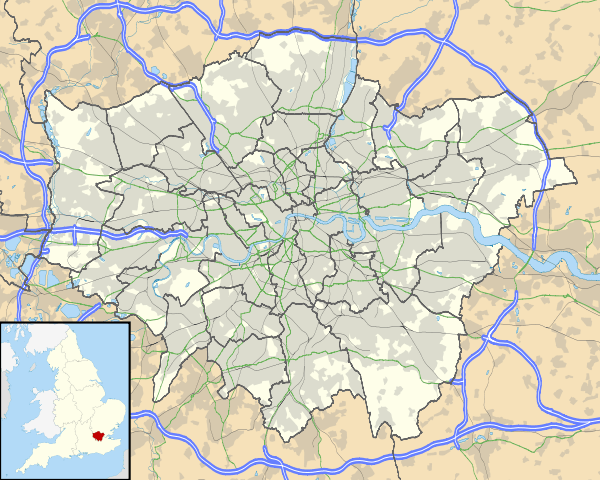
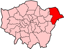
| London borough | Havering |
| Ceremonial county | Greater London |
| Region | London |
| Country | England |
| Sovereign state | United Kingdom |
| Post town | ROMFORD |
| Postcode district | RM14 |
| Dialling code | 01708 |
| Police | Metropolitan |
| Fire | London |
| Ambulance | London |
| EU Parliament | London |
| London Assembly | Havering and Redbridge |
Coordinates: 51°32′38″N 0°13′52″E / 51.544018°N 0.231187°E
Hacton is a small dispersed settlement surrounded by the Metropolitan Green Belt, located between the suburbs of Upminster and Rainham in the London Borough of Havering in London, England. It was historically a hamlet in the ancient parish of Upminster[2] and is within the Upminster post town. The name means 'farmstead on a hook-shaped piece of land', referring to an area adjacent to the River Ingrebourne.[3]
References
- ↑ "Havering Ward population 2011". Neighbourhood Statistics. Office for National Statistics. Retrieved 18 October 2016.
- ↑ Powell, W.R. (Edr.) (1978). Upminster: Introduction and manors, A History of the County of Essex: Volume 7. Victoria County History. British History Online. Retrieved 6 February 2010.
- ↑ Mills, D. (2000). Oxford Dictionary of London Place Names. Oxford.
| Districts |
|  |
|---|---|---|
| Attractions | ||
| Major retail | ||
| Places of worship | ||
| Parks and open spaces | ||
| Constituencies | ||
| Tube and rail stations | ||
| Other topics | ||
This article is issued from Wikipedia - version of the 10/18/2016. The text is available under the Creative Commons Attribution/Share Alike but additional terms may apply for the media files.