Gwills
| Gwills | |
| Cornish: Gwyles | |
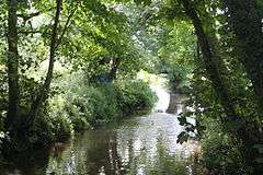 The River Gannel at Gwills |
|
 Gwills |
|
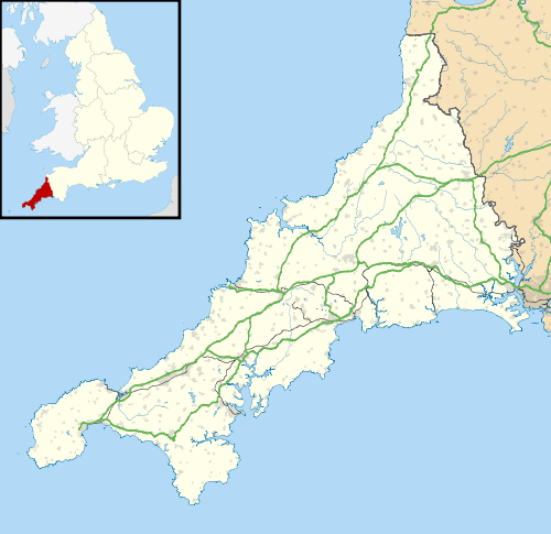
| OS grid reference | SW829593 |
|---|---|
| Civil parish | Colan |
| Unitary authority | Cornwall |
| Ceremonial county | Cornwall |
| Region | South West |
| Country | England |
| Sovereign state | United Kingdom |
| EU Parliament | South West England |
Coordinates: 50°23′35″N 5°03′22″W / 50.393°N 5.056°W
Gwills (Cornish: Gwyles)[1] is a hamlet in the parish of Colan, Cornwall, England.[2][3]
References
- ↑ Place-names in the Standard Written Form (SWF) : List of place-names agreed by the MAGA Signage Panel. Cornish Language Partnership.
- ↑ Ordnance Survey: Landranger map sheet 200 Newquay & Bodmin (Map). Ordnance Survey. ISBN 978-0-319-22938-5.
- ↑ Gwills; Explore Britain
Cornwall Portal | |
| Unitary authorities | |
| Major settlements |
|
| Rivers | |
| Topics | |
This article is issued from Wikipedia - version of the 1/20/2016. The text is available under the Creative Commons Attribution/Share Alike but additional terms may apply for the media files.