Glaser Grat
| Glaser Grat | |
|---|---|
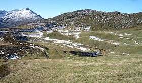 The Glaser Grat from the east side | |
| Highest point | |
| Elevation | 2,124 m (6,969 ft) |
| Prominence | 135 m (443 ft) [1] |
| Parent peak | Lüschgrat |
| Coordinates | 46°41′9.96″N 9°20′17.16″E / 46.6861000°N 9.3381000°ECoordinates: 46°41′9.96″N 9°20′17.16″E / 46.6861000°N 9.3381000°E |
| Geography | |
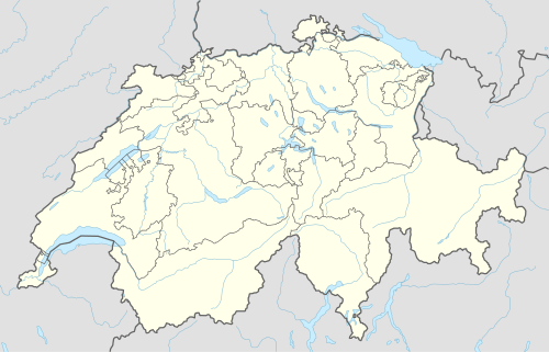 Glaser Grat Location in Switzerland | |
| Location | Graubünden, Switzerland |
| Parent range | Lepontine Alps |
The Glaser Grat is a mountain of the Lepontine Alps, located between Safien and Tschappina in the canton of Graubünden. It lies just north of the Glas Pass, from where a trail leads to the summit.
References
External links
 Media related to Glaser Grat at Wikimedia Commons
- Glaser Grat on Hikr
This article is issued from Wikipedia - version of the 5/9/2016. The text is available under the Creative Commons Attribution/Share Alike but additional terms may apply for the media files.